Buttle Lake
Map
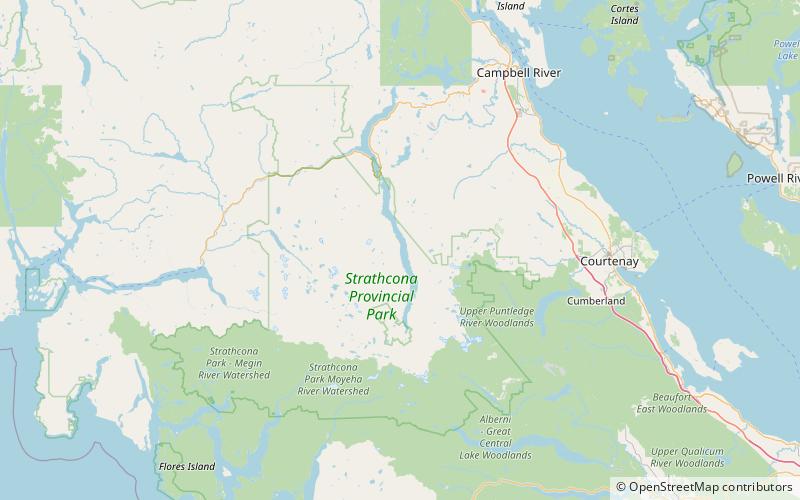
Map

Facts and practical information
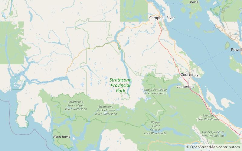
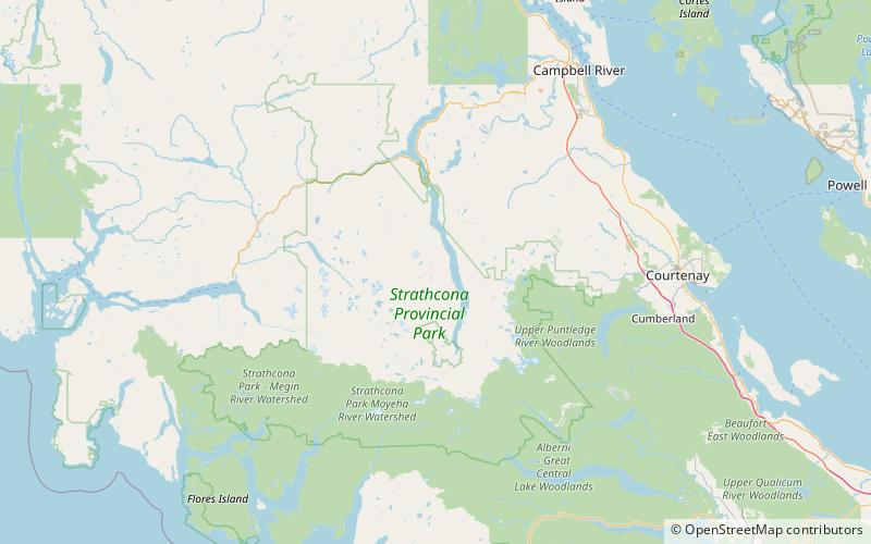
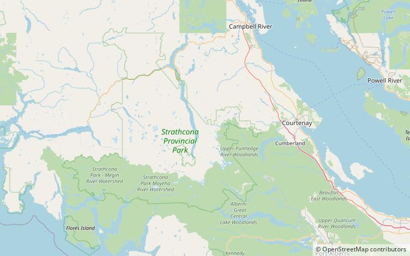
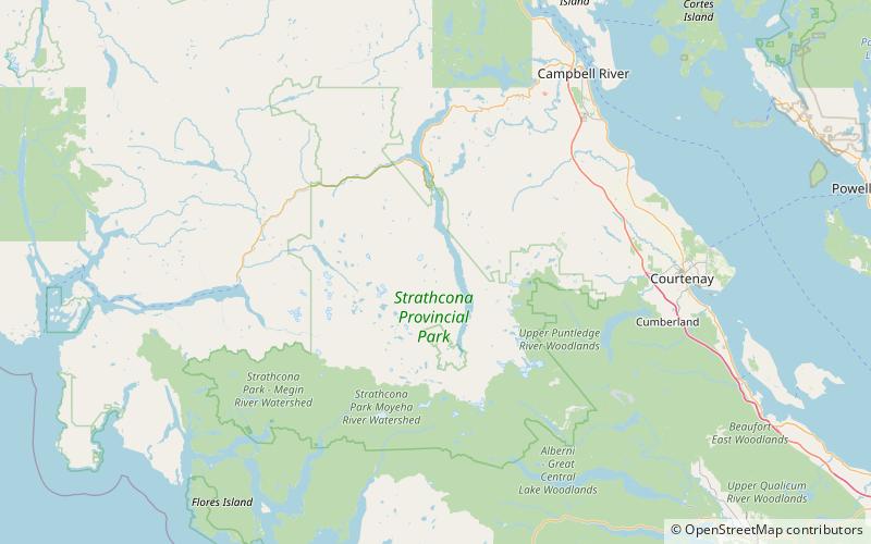
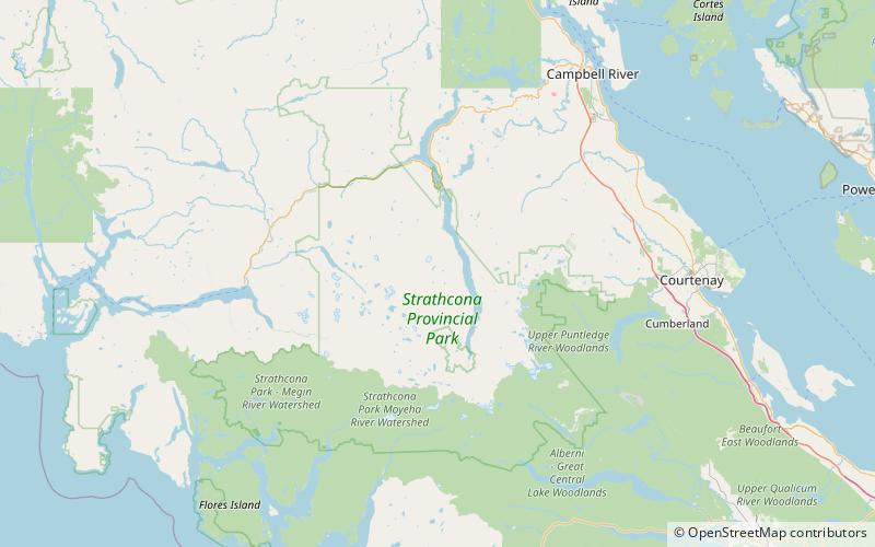
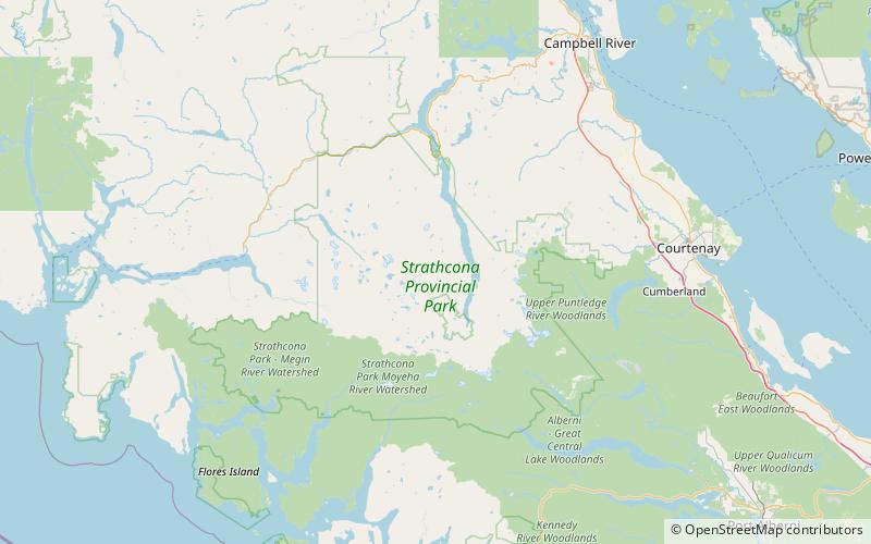
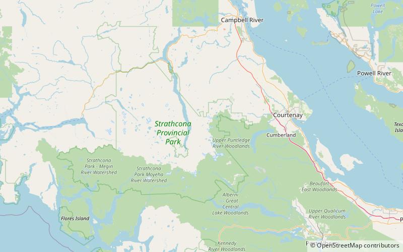
Buttle Lake is a lake on Vancouver Island in Strathcona Regional District, British Columbia, Canada. It is about 23 kilometres long and 1.5 kilometres wide, has an area of 28 square kilometres, is up to 120 metres deep, and lies at an elevation of 221 metres. The lake is located between Campbell River and Gold River in Strathcona Provincial Park. The lake is the headwaters of the Campbell River. ()
Alternative names: Area: 10.81 mi²Length: 14.29 miWidth: 4921 ftMaximum depth: 394 ftElevation: 751 ft a.s.l.Coordinates: 49°42'31"N, 125°34'16"W
Location
British Columbia
ContactAdd
Social media
Add
Day trips
Buttle Lake – popular in the area (distance from the attraction)
Nearby attractions include: Marblerock Lake, Marble Peak, Mount McBride, Marsh Marigold Lake.

