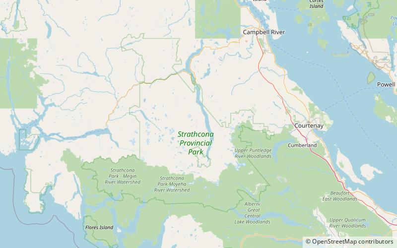
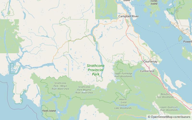
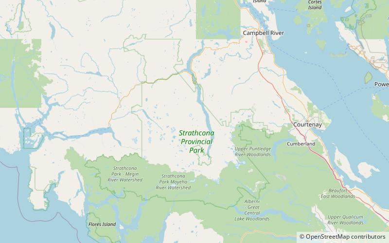
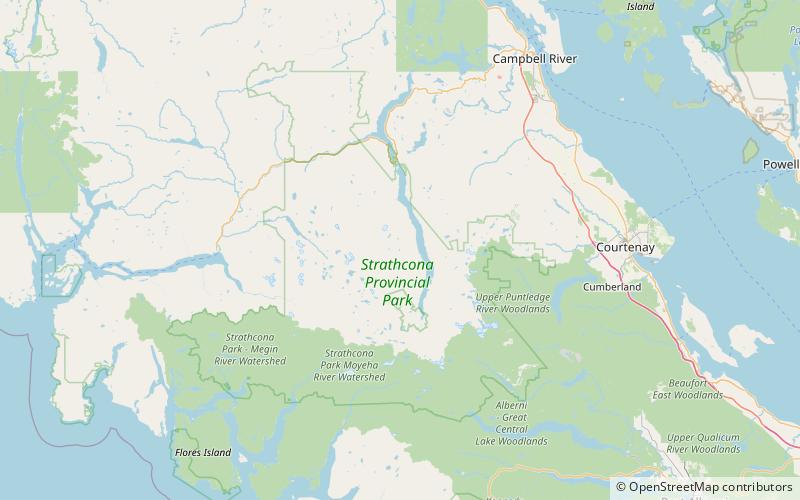
Marsh Marigold Lake

Gallery (1)
Map
Map
Facts and practical information
Marsh Marigold Lake is a lake on Vancouver Island that is west of Buttle Lake. ()
Elevation: 4708 ft a.s.l.Coordinates: 49°41'2"N, 125°36'58"W
Location
British Columbia
ContactAdd
Social media
Add
Day trips