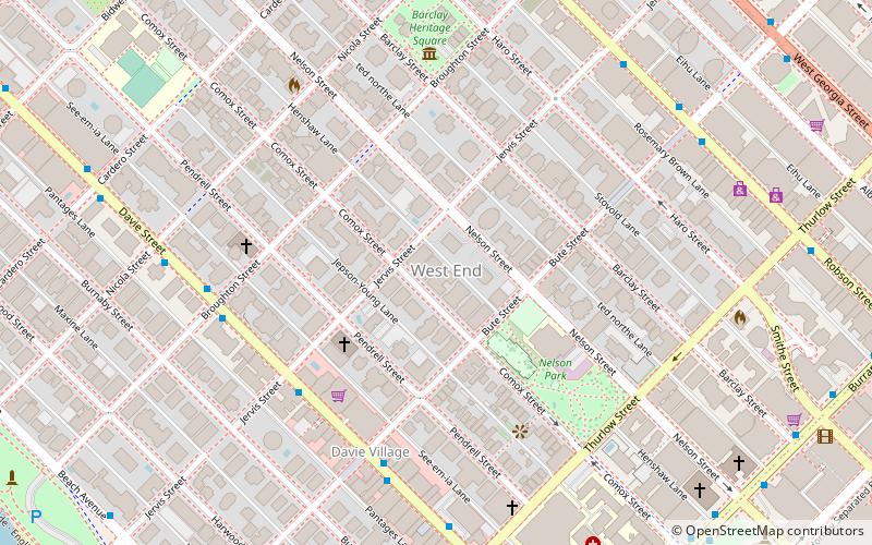
West End, Vancouver

Gallery (3)
Map
Map
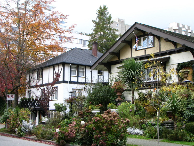
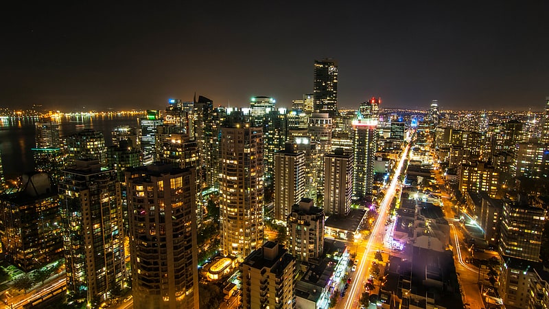
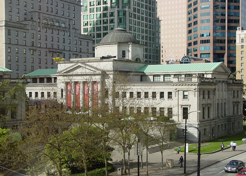
Gallery
Facts and practical information
The West End is a neighbourhood in Vancouver, British Columbia, Canada, located between the Coal Harbour neighbourhood and the financial and central business districts of Downtown Vancouver to the east, Stanley Park to the northwest, the English Bay to the west, and Kitsilano to the southwest across the False Creek opening. ()
Getting there by public transportation
Public transportation stops near this location
- Metro
- Bus
- Trolleybus
- Train
- Ferry
 Metro
Metro
- Calculate routeDavie St at Jervis St 5 min walk
- Calculate routeDavie St at Jervis St 5 min walk
- Calculate routeAquatic Centre Dock 15 min walk
- Calculate routeHornby Terminal 18 min walk
- Calculate routeMaritime Museum Dock 20 min walk
- Calculate routeGranville Island Dock 20 min walk
- Calculate routeBurrard 15 min walk
- Calculate routeVancouver City Centre 16 min walk
- Calculate routeGranville 19 min walk
- Calculate routeYaletown–Roundhouse 21 min walk
- Calculate routeWaterfront 25 min walk
Maps SkyTrain
SkyTrainDay trips


Frequently Asked Questions (FAQ)
Which popular attractions are close to West End?
Nearby attractions include St. Paul's Anglican Church, Vancouver (3 min walk), Nelson Park, Vancouver (4 min walk), Roedde House Museum, Vancouver (5 min walk), St. Andrew's Wesley Church, Vancouver (8 min walk).
How to get to West End by public transport?
The nearest stations to West End:
Trolleybus
Bus
Ferry
Metro
Train
Trolleybus
- Davie St at Jervis St • Lines: 6 (5 min walk)
Bus
- Davie St at Jervis St • Lines: 23 (5 min walk)
Ferry
- Aquatic Centre Dock • Lines: False Creek Ferries Route 1, False Creek Ferries Route 2 (15 min walk)
- Hornby Terminal • Lines: Aquabus (18 min walk)
Metro
- Burrard • Lines: Expo Line (15 min walk)
- Vancouver City Centre • Lines: Canada Line (16 min walk)
Train
- Waterfront (25 min walk)