Ogilvie Ridge, Edmonton
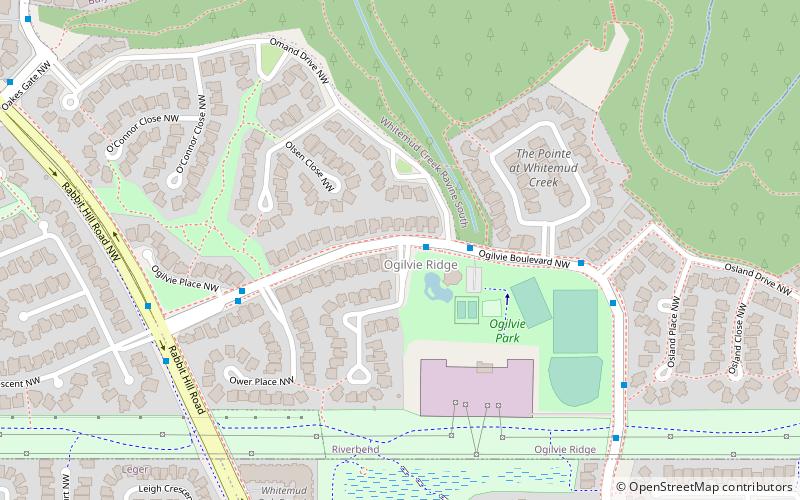
Map
Facts and practical information
Ogilvie Ridge is a residential neighbourhood in south west Edmonton, Alberta, Canada overlooking the Whitemud Creek ravine. It is bounded by the ravine to the east and north. On the west the neighbourhood is bounded by Rabbit Hill Road and on the south by a utility corridor located just north of 29 Avenue. ()
Area: 128.49 acres (0.2008 mi²)Coordinates: 53°27'50"N, 113°33'50"W
Address
Southwest Edmonton (Ogilvie Ridge)Edmonton
ContactAdd
Social media
Add
Getting there by public transportation
Public transportation stops near this location
- Bus
 Bus
Bus
- Calculate routeLeger Transit Centre 23 min walk
Day trips


Frequently Asked Questions (FAQ)
Which popular attractions are close to Ogilvie Ridge?
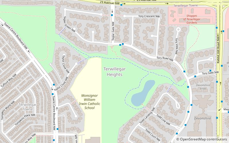
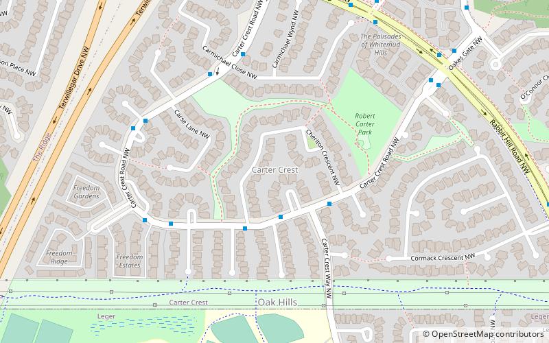
Nearby attractions include Hodgson, Edmonton (13 min walk), Carter Crest, Edmonton (15 min walk), Leger, Edmonton (18 min walk), Bulyea Heights, Edmonton (21 min walk).
How to get to Ogilvie Ridge by public transport?
The nearest stations to Ogilvie Ridge:
Bus
Bus
- Leger Transit Centre (23 min walk)