Edmonton-Whitemud, Edmonton
Map
Facts and practical information
Edmonton-Whitemud is a provincial electoral district for the Legislative Assembly of Alberta, Canada. In 1989, its constituents unseated the Premier of the day, Donald Getty, by voting for Liberal candidate Percy Wickman. ()
Coordinates: 53°28'26"N, 113°32'28"W
Address
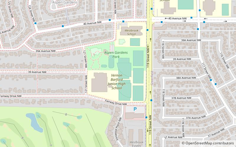
Southwest Edmonton (Aspen Gardens)Edmonton
ContactAdd
Social media
Add
Getting there by public transportation
Public transportation stops near this location
- Bus
- Light rail
 Bus
Bus
- Calculate routeSouthgate 33 min walk
- Calculate routeCentury Park 40 min walk
- Calculate routeSouthgate Transit Centre 33 min walk
- Calculate routeCentury Park Transit Centre 40 min walk
Day trips


Frequently Asked Questions (FAQ)
Which popular attractions are close to Edmonton-Whitemud?
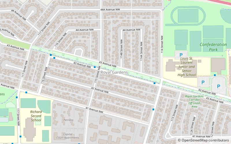
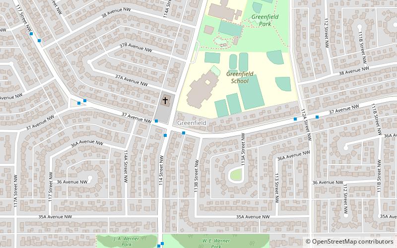
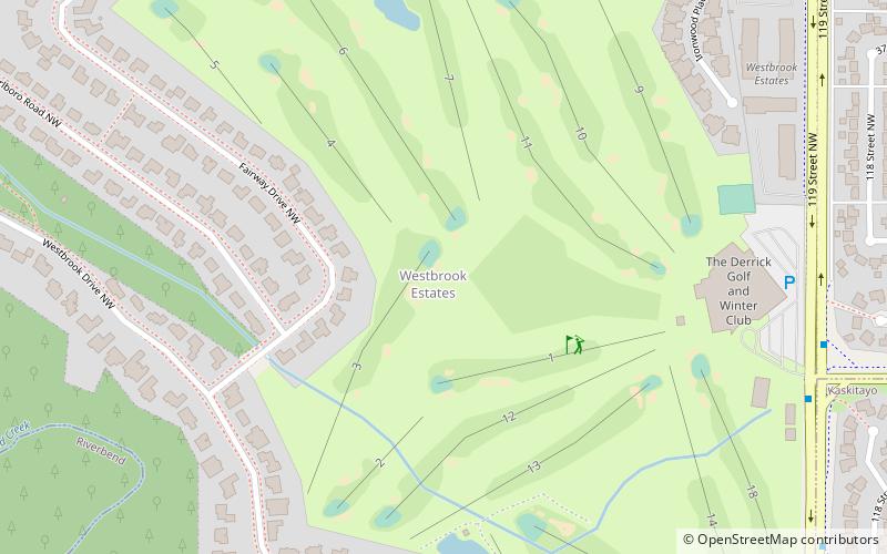
Nearby attractions include Aspen Gardens, Edmonton (7 min walk), Royal Gardens Community League, Edmonton (9 min walk), Westbrook Estates, Edmonton (11 min walk), Greenfield, Edmonton (16 min walk).
How to get to Edmonton-Whitemud by public transport?
The nearest stations to Edmonton-Whitemud:
Light rail
Bus
Light rail
- Southgate • Lines: 501, 502 (33 min walk)
- Century Park • Lines: 501, 502 (40 min walk)
Bus
- Southgate Transit Centre • Lines: 74 (33 min walk)
- Century Park Transit Centre • Lines: 17, 23, 24, 30, 347, 40, 41, 43, 44, 45, 46, 48, 49, 74, 747, 77, 78, 79 (40 min walk)