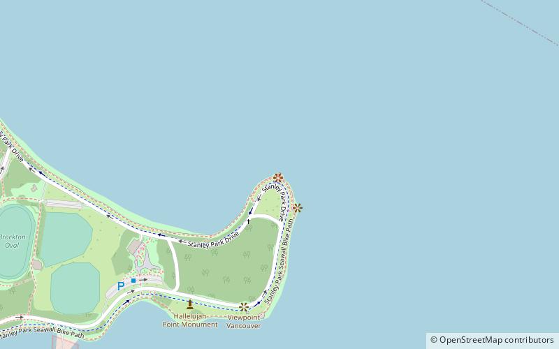
Brockton Oval, Vancouver
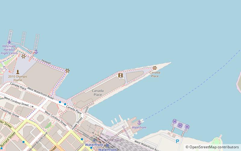
Map
Facts and practical information
Brockton Oval is a playing area near the Brockton Point located on the north side of Coal Harbour in Vancouver, British Columbia, Canada. The ground was established 1891 with 10 sport's groups joining together. In 1927, cricket and rugby fields were carved out. ()
Coordinates: 49°18'3"N, 123°7'1"W
Address
Stanley ParkVancouver
ContactAdd
Social media
Add
Getting there by public transportation
Public transportation stops near this location
- Metro
- Bus
- Trolleybus
- Train
- Ferry
 Metro
Metro
- Calculate routeStanley Park Loop Bay 1 20 min walk
- Calculate routeWest Pender St at Jervis St 24 min walk
- Calculate routeStanley Park Loop 20 min walk
- Calculate routeWest Georgia Street at Cardero Street 24 min walk
- Calculate routeWest Pender St at Thurlow St 24 min walk
- Calculate routeNorth Vancouver 26 min walk
- Calculate routeWaterfront 28 min walk
- Calculate routeWaterfront 27 min walk
- Calculate routeWaterfront 27 min walk
- Calculate routeBurrard 28 min walk
Maps SkyTrain
SkyTrainDay trips


Frequently Asked Questions (FAQ)
Which popular attractions are close to Brockton Oval?
Nearby attractions include Brockton Point Lighthouse, Vancouver (1 min walk), Chehalis Cross, Vancouver (2 min walk), Vancouver Aquarium, Vancouver (16 min walk), Coal Harbour, Vancouver (17 min walk).
How to get to Brockton Oval by public transport?
The nearest stations to Brockton Oval:
Trolleybus
Bus
Train
Ferry
Metro
Trolleybus
- Stanley Park Loop Bay 1 • Lines: 19 (20 min walk)
- West Pender St at Jervis St • Lines: 19 (24 min walk)
Bus
- Stanley Park Loop (20 min walk)
- West Georgia Street at Cardero Street • Lines: 240, 246, 250 (24 min walk)
Train
- North Vancouver (26 min walk)
- Waterfront (28 min walk)
Ferry
- Waterfront • Lines: SeaBus (27 min walk)
Metro
- Waterfront • Lines: Canada Line, Expo Line (27 min walk)
- Burrard • Lines: Expo Line (28 min walk)