Brantford City Hall, Brantford
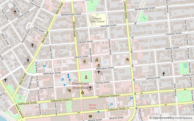
Map

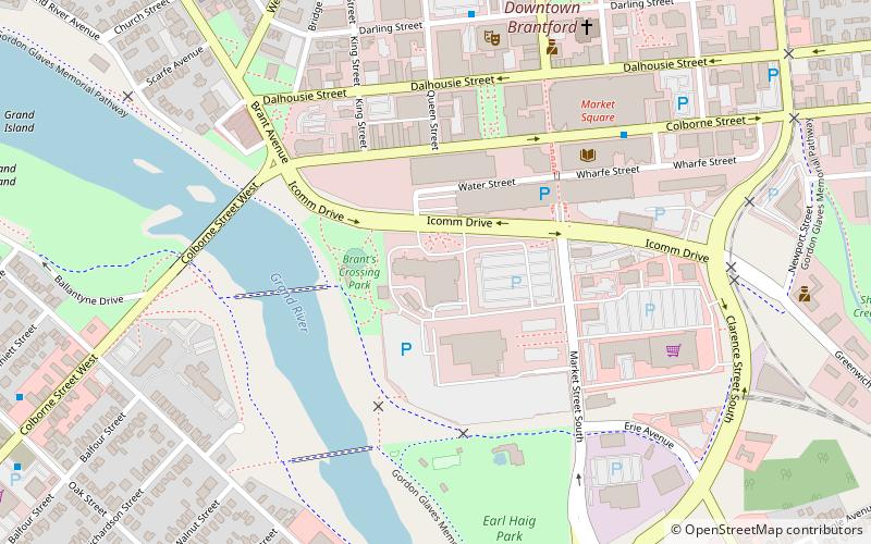
Map

Facts and practical information
Brantford City Hall is the home of the municipal government of Brantford, Ontario, Canada. The building is located at 100 Wellington Square. ()
Completed: 1967 (59 years ago)Architectural style: BrutalismCoordinates: 43°8'31"N, 80°15'44"W
Address
Downtown BrantfordBrantford
ContactAdd
Social media
Add
Day trips
Brantford City Hall – popular in the area (distance from the attraction)
Nearby attractions include: Bell Memorial, Personal Computer Museum, Sanderson Centre, Arnold Anderson Stadium at Cockshutt Park.
Frequently Asked Questions (FAQ)
Which popular attractions are close to Brantford City Hall?
Nearby attractions include Laurier Brantford, Brantford (3 min walk), Sanderson Centre, Brantford (5 min walk), Bell Memorial, Brantford (8 min walk), Brantford Farmers Market, Brantford (9 min walk).
How to get to Brantford City Hall by public transport?
The nearest stations to Brantford City Hall:
Train
Train
- Brantford (10 min walk)


