Youthlink Calgary Police Interpretive Centre, Calgary

Facts and practical information
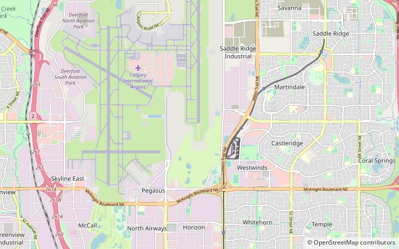
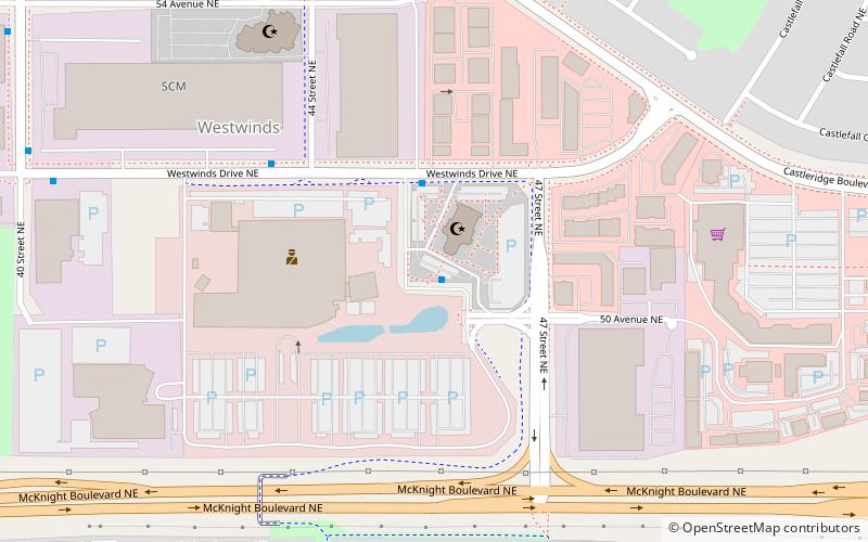
Youthlink Calgary Police Interpretive Centre (address: 5151 47 St NE) is a place located in Calgary (Alberta province) and belongs to the category of museum, specialty museum.
It is situated at an altitude of 3596 feet, and its geographical coordinates are 51°5'56"N latitude and 113°58'5"W longitude.
Planning a visit to this place, one can easily and conveniently get there by public transportation. Youthlink Calgary Police Interpretive Centre is a short distance from the following public transport stations: McKnight-Westwinds LRT Station (bus, 19 min walk), McKnight-Westwinds (light rail, 20 min walk).
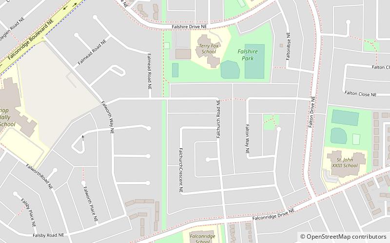
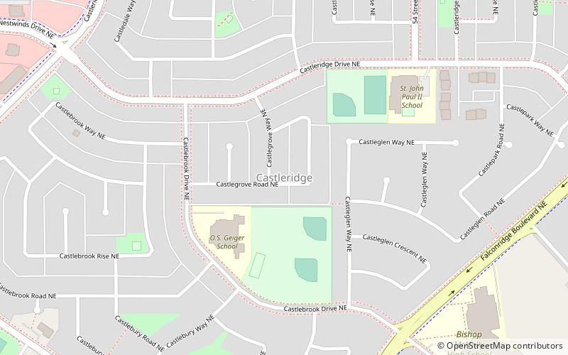
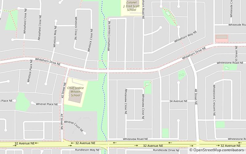
Among other places and attractions worth visiting in the area are: Baitun Nur Mosque (mosque, 7 min walk), Castleridge (neighbourhood, 16 min walk), Whitehorn (neighbourhood, 26 min walk).
Youthlink Calgary Police Interpretive Centre – popular in the area (distance from the attraction)
Nearby attractions include: Baitun Nur Mosque, Silverwing Golf Course, Falconridge, Castleridge.
Frequently Asked Questions (FAQ)
When is Youthlink Calgary Police Interpretive Centre open?
- Monday closed
- Tuesday closed
- Wednesday closed
- Thursday closed
- Friday 10 am - 4 pm
- Saturday 10 am - 4 pm
- Sunday closed
Which popular attractions are close to Youthlink Calgary Police Interpretive Centre?
How to get to Youthlink Calgary Police Interpretive Centre by public transport?
Bus
- McKnight-Westwinds LRT Station • Lines: (N) 100 (19 min walk)
- McKnight-Westwinds (20 min walk)
Light rail
- McKnight-Westwinds • Lines: 202 (20 min walk)
- Whitehorn • Lines: 202 (28 min walk)


