Falconridge, Calgary

Map
Facts and practical information
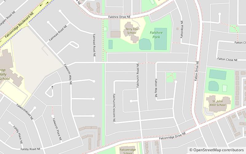
Falconridge is a residential neighbourhood in the northeast quadrant of Calgary, Alberta. It is bounded by Falconridge Boulevard and 44 Street E to the west, 64 Avenue N to the north, 68 Street E to the east and McKnight Boulevard to the south. ()
Area: 0.81 mi²Coordinates: 51°6'10"N, 113°56'44"W
Address
95 Falshire Drive NENortheast Calgary (Falconridge)Calgary
Contact
+1 403-280-4422
Social media
Add
Day trips
Falconridge – popular in the area (distance from the attraction)
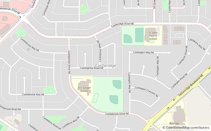
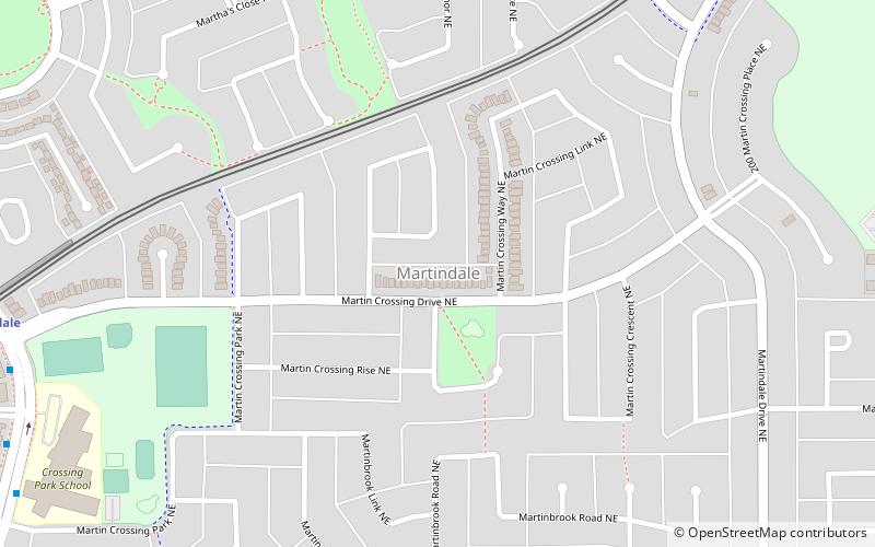
Nearby attractions include: Baitun Nur Mosque, Youthlink Calgary Police Interpretive Centre, Castleridge, Martindale.
Frequently Asked Questions (FAQ)
How to get to Falconridge by public transport?
The nearest stations to Falconridge:
Light rail
Light rail
- Martindale • Lines: 202 (37 min walk)


