Scarborough, Toronto
Map
Gallery
Facts and practical information
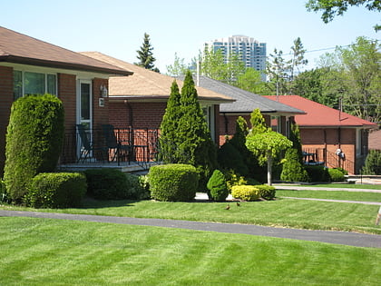
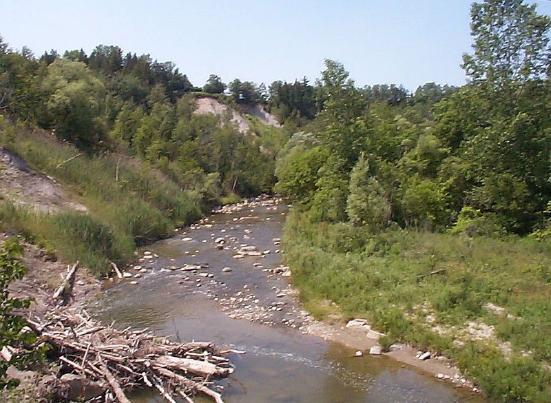
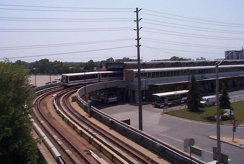
Scarborough is a district of Toronto, Ontario, Canada, atop the Scarborough Bluffs in the eastern part of the city. Its borders are Victoria Park Avenue to the west, Steeles Avenue to the north, Rouge River and the city of Pickering to the east, and Lake Ontario to the south. It borders Old Toronto, East York and North York in the west and the city of Markham in the north. Scarborough was named after the English town of Scarborough, North Yorkshire. ()
Day trips
Scarborough – popular in the area (distance from the attraction)
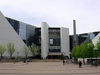
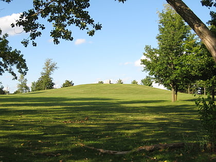
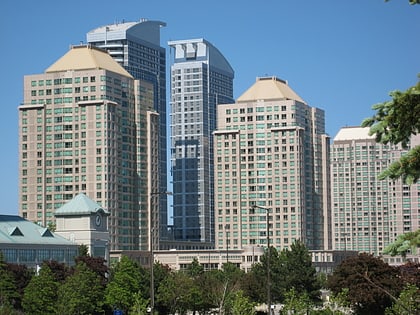
Nearby attractions include: Scarborough Town Centre, Cedarbrae Mall, Scarborough Civic Centre, Taber Hill.
Frequently Asked Questions (FAQ)
Which popular attractions are close to Scarborough?
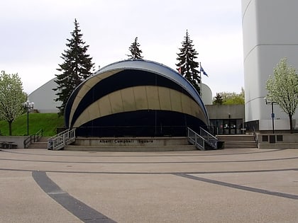
Nearby attractions include Albert Campbell Square, Toronto (16 min walk), Scarborough Civic Centre, Toronto (17 min walk), Scarborough City Centre, Toronto (17 min walk).
How to get to Scarborough by public transport?
The nearest stations to Scarborough:
Bus
Light rail
Bus
- Parkington Crescent • Lines: 133 (3 min walk)
- Bellamy Road North • Lines: 133, 95A, 95B, 95E (5 min walk)
Light rail
- McCowan • Lines: 3 (10 min walk)
- Scarborough Centre • Lines: 3 (18 min walk)



 Subway
 Streetcar system
 PATH
PATH

