Scarborough City Centre, Toronto
Map

Gallery
Facts and practical information
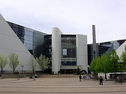
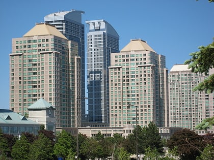
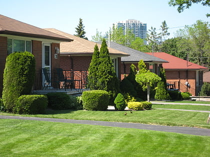
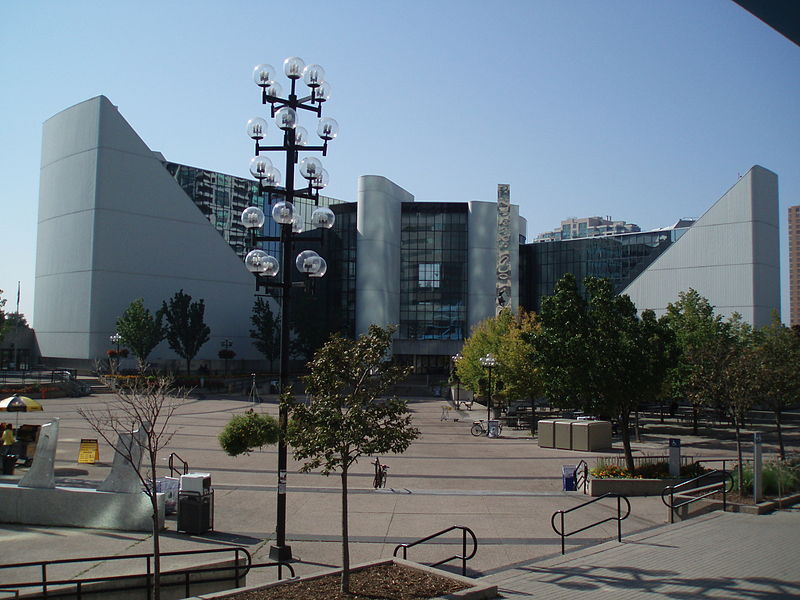
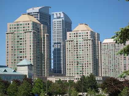
Scarborough City Centre is a commercial district in Toronto, Ontario, Canada. It was the central business district for the former city of Scarborough, which amalgamated with Toronto in 1998. Scarborough City Centre remains one of the central business districts outside Downtown Toronto. ()
Coordinates: 43°46'23"N, 79°15'28"W
Address
Scarborough (Scarborough City Centre)Toronto
ContactAdd
Social media
Add
Day trips
Scarborough City Centre – popular in the area (distance from the attraction)
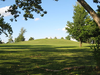
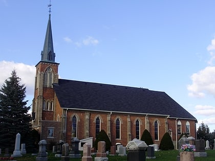
Nearby attractions include: Scarborough Town Centre, Scarborough Civic Centre, Taber Hill, Knox United Church.
Frequently Asked Questions (FAQ)
Which popular attractions are close to Scarborough City Centre?
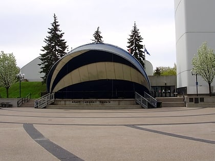
Nearby attractions include Scarborough Civic Centre, Toronto (1 min walk), Albert Campbell Square, Toronto (2 min walk), Scarborough, Toronto (17 min walk).
How to get to Scarborough City Centre by public transport?
The nearest stations to Scarborough City Centre:
Bus
Light rail
Bus
- Scarborough Centre Station • Lines: 133, 16 (3 min walk)
- Scarborough GO Bus Terminal (4 min walk)
Light rail
- Scarborough Centre • Lines: 3 (3 min walk)
- McCowan • Lines: 3 (9 min walk)
 Subway
 Streetcar system
 PATH
PATH
