Carnegie Community Centre, Vancouver
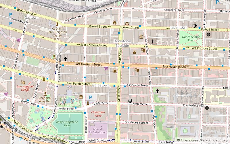
Map
Gallery
Facts and practical information
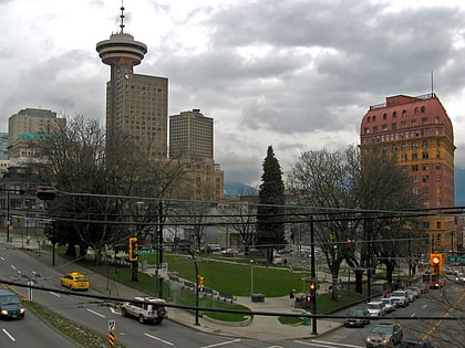
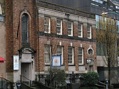
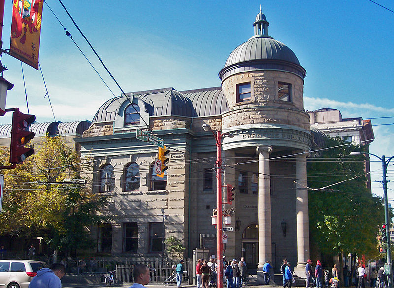
Carnegie Community Centre is located at 401 Main Street at the corner of Hastings Street, in the old Carnegie Public Library building in the Downtown Eastside of Vancouver, British Columbia. ()
Coordinates: 49°16'52"N, 123°5'60"W
Day trips
Carnegie Community Centre – popular in the area (distance from the attraction)
Nearby attractions include: Rogers Arena, Fortune Sound Club, Dr. Sun Yat-Sen Classical Chinese Garden, Woodward's Building.
Frequently Asked Questions (FAQ)
Which popular attractions are close to Carnegie Community Centre?
Nearby attractions include Pantages Theatre, Vancouver (2 min walk), Chinatown, Vancouver (3 min walk), Downtown Eastside, Vancouver (3 min walk), Vancouver Police Museum, Vancouver (4 min walk).
How to get to Carnegie Community Centre by public transport?
The nearest stations to Carnegie Community Centre:
Trolleybus
Bus
Metro
Train
Ferry
Trolleybus
- East Hastings Street at Main Street • Lines: 14, 16, 20, 3, 4, 7, 8 (1 min walk)
- East Pender St at Main St • Lines: 19 (2 min walk)
Bus
- East Hastings Street at Main Street • Lines: R5 (1 min walk)
- East Pender St at Main St • Lines: 22 (2 min walk)
Metro
- Stadium–Chinatown • Lines: Expo Line (12 min walk)
- Main Street-Science World • Lines: Expo Line (14 min walk)
Train
- Vancouver Pacific Central (13 min walk)
- Waterfront (16 min walk)
Ferry
- Waterfront • Lines: SeaBus (15 min walk)
- Village Dock • Lines: Aquabus, False Creek Ferries Route 3 (17 min walk)
 SkyTrain
