Champlain Bridge, Gatineau
Map
Map

Facts and practical information
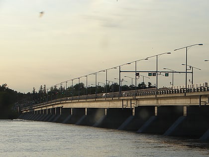
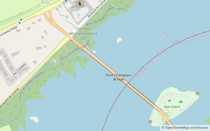
The Champlain Bridge crosses the Ottawa River about 5 km west of Parliament Hill, joining the communities of Ottawa, Ontario and Gatineau, Quebec. It is the westernmost link between the two cities. ()
Day trips
Champlain Bridge – popular in the area (distance from the attraction)
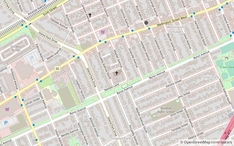
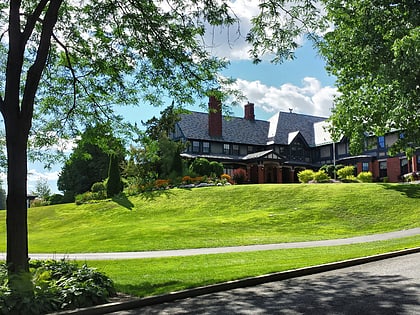
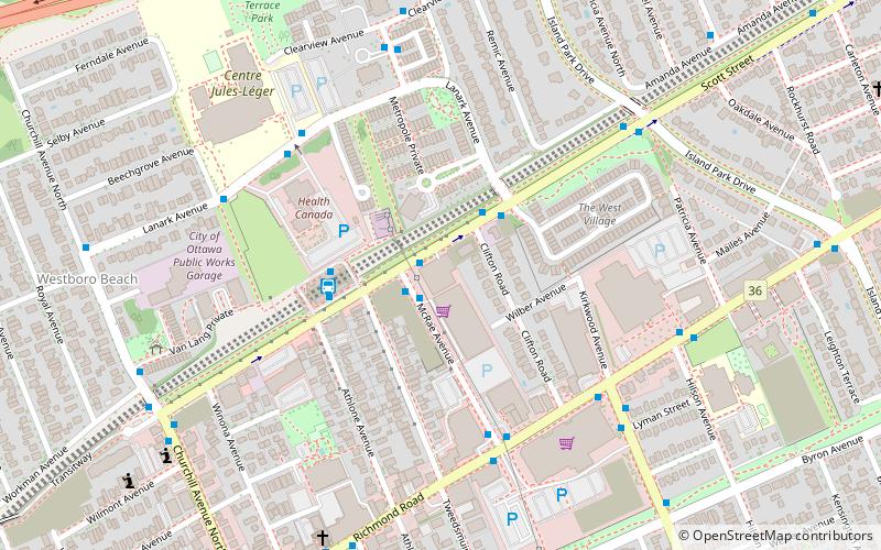
Nearby attractions include: St. George's Parish, Royal Ottawa Golf Club, Canadian Ski Museum, Tunney's Pasture.
Frequently Asked Questions (FAQ)
How to get to Champlain Bridge by public transport?
The nearest stations to Champlain Bridge:
Bus
Bus
- De Lucerne/Royale • Lines: 18 (7 min walk)
- Lucerne/St-Dominique • Lines: 18 (18 min walk)
