Manoir-des-Trembles-Val-Tétreau District, Ottawa
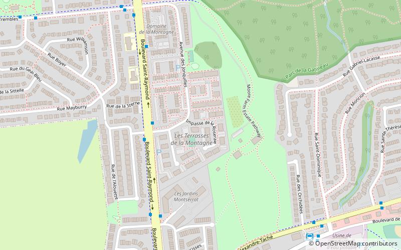
Map
Facts and practical information
Manoir-des-Trembles-Val-Tétreau District is a municipal district in the city of Gatineau, Quebec. It is currently served on Gatineau City Council by Jocelyn Blondin. ()
Coordinates: 45°25'23"N, 75°45'32"W
Address
Quartier de l'Oree-du-ParcOttawa
ContactAdd
Social media
Add
Getting there by public transportation
Public transportation stops near this location
- Bus
 Bus
Bus
- Calculate routeParc-o-Bus Saint-Dominique 9 min walk
- Calculate routeLucerne/St-Dominique 9 min walk
- Calculate routeAlexandre-Taché/Boudria 14 min walk
Day trips


Frequently Asked Questions (FAQ)
How to get to Manoir-des-Trembles-Val-Tétreau District by public transport?
The nearest stations to Manoir-des-Trembles-Val-Tétreau District:
Bus
Bus
- Parc-o-Bus Saint-Dominique (9 min walk)
- Lucerne/St-Dominique • Lines: 18 (9 min walk)