Fort Drummond
Map
Facts and practical information
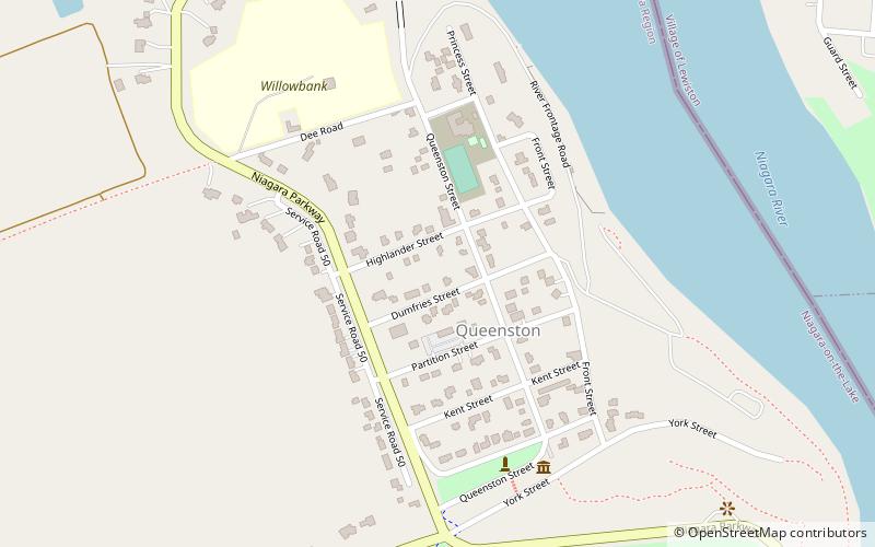
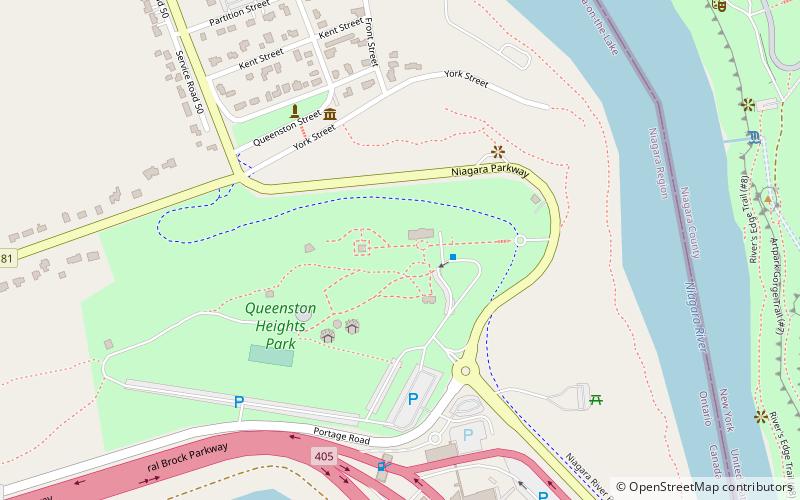
Fort Drummond was the site of a redoubt and battery from the War of 1812 and located within Queenston Heights. ()
Built: 1814 (212 years ago)Coordinates: 43°9'36"N, 79°3'8"W
Day trips
Fort Drummond was the site of a redoubt and battery from the War of 1812 and located within Queenston Heights. ()
Where to next? Visit ![]() Ontario region page or discover the top tourist attractions in Canada.
Ontario region page or discover the top tourist attractions in Canada.