Stamford Township, Niagara Falls
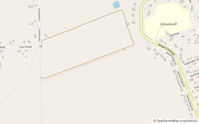
Map
Facts and practical information
Stamford Township is a former incorporated and now geographic township in Upper Canada, later Ontario, on the Niagara Peninsula. It was originally designated Township #2 in the Home District of the Quebec Colony in Canada. Following the creation of Upper Canada in 1791, Township #2 was renamed Stamford and placed within the newly created County of Lincoln. When Lincoln county was divided into Lincoln and Welland counties in 1851, Township #2 was placed in Welland County. ()
Coordinates: 43°9'55"N, 79°3'52"W
Address
Niagara Falls
ContactAdd
Social media
Add
Day trips
Stamford Township – popular in the area (distance from the attraction)
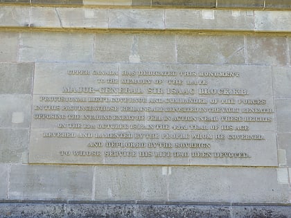
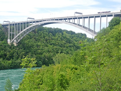
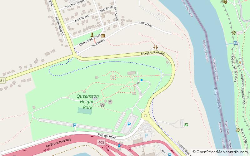
Nearby attractions include: Brock's Monument, Lewiston–Queenston Bridge, Queenston Heights Park, RiverBrink Art Museum.
Frequently Asked Questions (FAQ)
Which popular attractions are close to Stamford Township?
Nearby attractions include Willowbank Estate, Niagara-on-the-Lake (10 min walk), Queenston, Niagara-on-the-Lake (12 min walk), Mackenzie Printery and Newspaper Museum - Niagara Parks Heritage, Niagara Falls (15 min walk), Brock's Monument, Niagara-on-the-Lake (18 min walk).
