Laurier Avenue Bridge, Ottawa
Map
Map

Facts and practical information
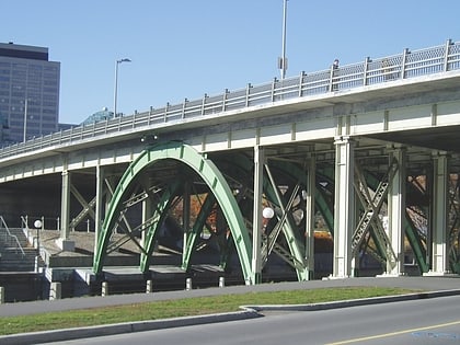
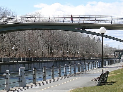
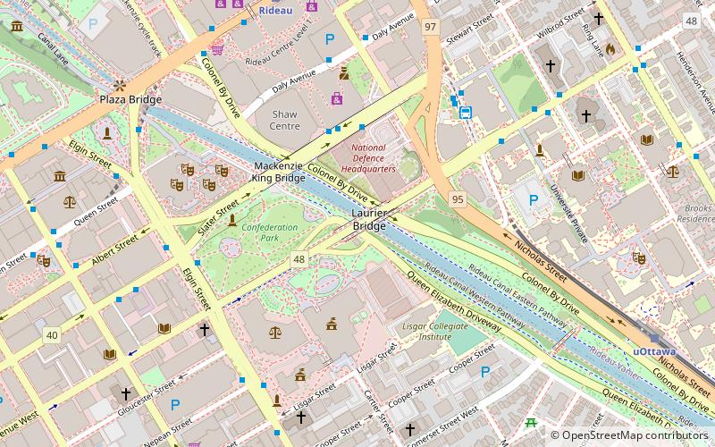
The Laurier Avenue Bridge is a bridge in Ottawa, Ontario, Canada. It carries Laurier Avenue over the Rideau Canal and also Colonel By Drive and Queen Elizabeth Driveway. The green steel arches makes the bridge one of the most recognizable in Ottawa. Many of the events of Winterlude are held around the bridge, and it is a common background to pictures of skaters on the canal. The southern entrance to the Department of National Defence Headquarters is located on the eastern portion of the bridge. ()
Address
Downtown OttawaOttawa
ContactAdd
Social media
Add
Day trips
Laurier Avenue Bridge – popular in the area (distance from the attraction)
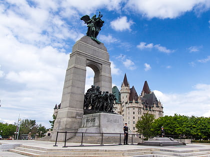
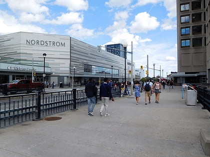
Nearby attractions include: National War Memorial, Canadian Tomb of the Unknown Soldier, Rideau Centre, Confederation Park.
Frequently Asked Questions (FAQ)
Which popular attractions are close to Laurier Avenue Bridge?
Nearby attractions include Major-General George R Pearkes Building, Ottawa (2 min walk), The Cameron Highlanders of Ottawa, Ottawa (3 min walk), Governor General's Foot Guards, Ottawa (3 min walk), Mackenzie King Bridge, Ottawa (3 min walk).
How to get to Laurier Avenue Bridge by public transport?
The nearest stations to Laurier Avenue Bridge:
Bus
Light rail
Bus
- Centre Rideau • Lines: 400 (3 min walk)
- Mackenzie King 2A • Lines: 16, 19 (3 min walk)
Light rail
- Rideau O-Train East/Est • Lines: 1 (8 min walk)
- UOttawa O-Train East/Est • Lines: 1 (10 min walk)
