Crawford Street Bridge, Toronto
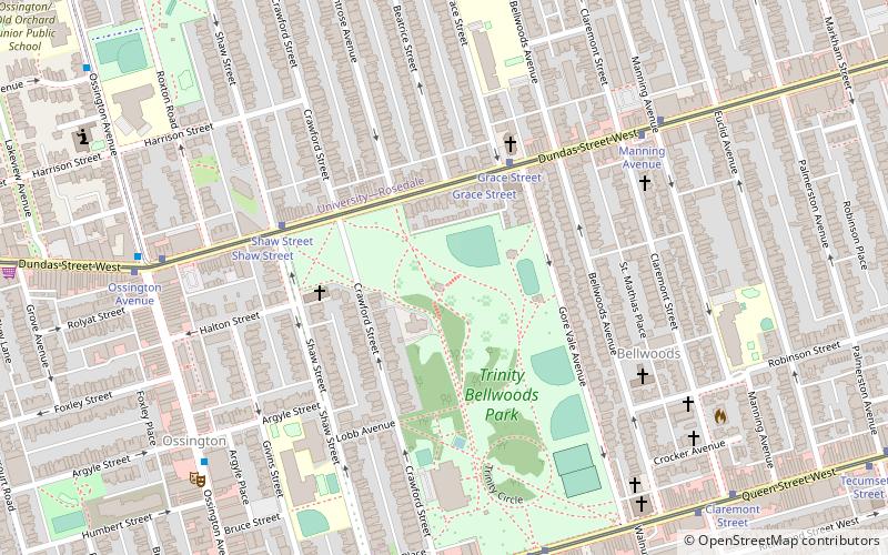
Map
Facts and practical information
Crawford Street Bridge is one of two known bridges that once spanned over Garrison Creek valley in Toronto, Ontario, Canada, and buried intact in the 20th century. The bridge shares design features with the larger Prince Edward Viaduct. ()
Opened: 1915 (111 years ago)Coordinates: 43°38'57"N, 79°24'54"W
Address
West End (Trinity Bellwoods)Toronto
ContactAdd
Social media
Add
Day trips
Crawford Street Bridge – popular in the area (distance from the attraction)
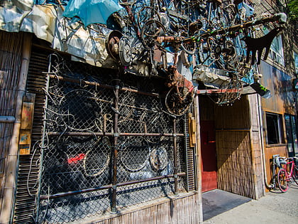
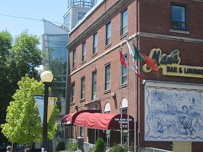
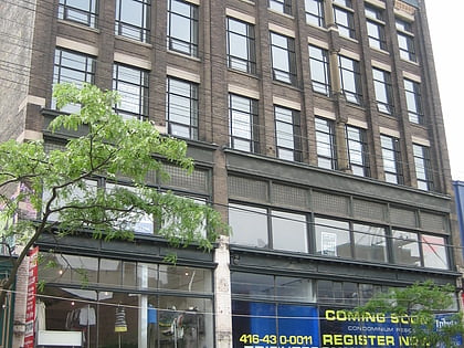
Nearby attractions include: Bovine Sex Club, Mod Club Theatre, Burroughes Building, Little Italy.
Frequently Asked Questions (FAQ)
Which popular attractions are close to Crawford Street Bridge?
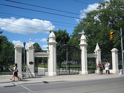
Nearby attractions include Trinity Bellwoods Park, Toronto (3 min walk), Koffler Centre of the Arts, Toronto (6 min walk), Trinity-Bellwoods, Toronto (6 min walk), St. Matthias, Toronto (6 min walk).
How to get to Crawford Street Bridge by public transport?
The nearest stations to Crawford Street Bridge:
Tram
Bus
Train
Metro
Ferry
Tram
- Grace Street • Lines: 505 (4 min walk)
- Shaw Street • Lines: 505 (5 min walk)
Bus
- Argyle Street • Lines: 363, 63, 63A, 63B (8 min walk)
- Dundas Street West • Lines: 363, 63 (8 min walk)
Train
- Exhibition (24 min walk)
Metro
- Christie • Lines: 2 (27 min walk)
- Ossington • Lines: 2 (28 min walk)
Ferry
- Bathurst Street Terminal • Lines: Billy Bishop Airport Ferry (35 min walk)
- Billy Bishop Terminal • Lines: Billy Bishop Airport Ferry (38 min walk)
 Subway
 Streetcar system
 PATH
PATH