Prince Edward Viaduct, Toronto

Gallery (4)
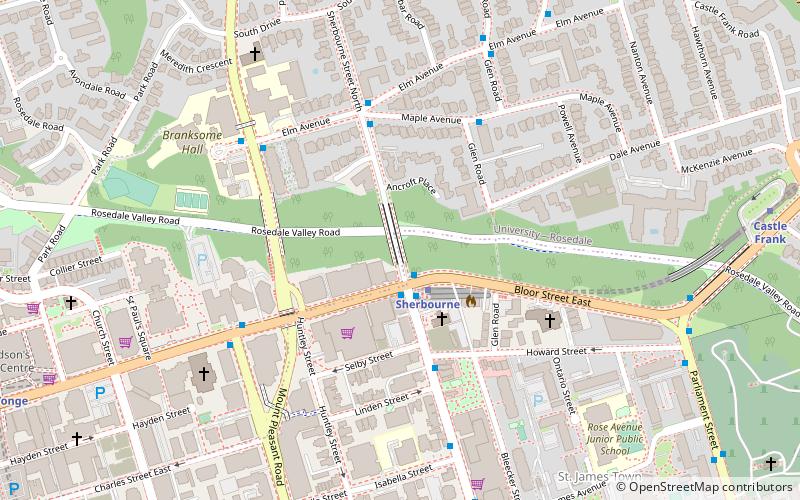
Map

Map
Gallery
Facts and practical information
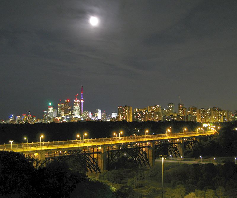
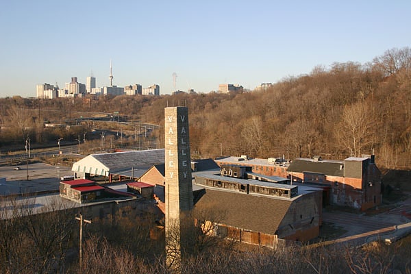
The Prince Edward Viaduct System, commonly referred to as the Bloor Viaduct, is the name of a truss arch bridge system in Toronto, Ontario, Canada, connecting Bloor Street East, on the west side of the system, with Danforth Avenue on the east. The system includes the Rosedale Valley phase and the Sherbourne Phase, an embankment built to extend Bloor Street East to the Rosedale Ravine from Sherbourne Street. The Don Valley phase of the system, the most recognizable, spans the Don River Valley, crossing over the Bayview Avenue Extension, the Don River, and the Don Valley Parkway. ()
Getting there by public transportation
Public transportation stops near this location
- Metro
- Bus
- Tram
 Metro
Metro
- Calculate routeDanforth Avenue 7 min walk
- Calculate routeBroadview Station 8 min walk
- Calculate routeWolfrey Avenue 9 min walk
- Calculate routeMillbrook Crescent 13 min walk
- Calculate routeBroadview 7 min walk
- Calculate routeCastle Frank 8 min walk
- Calculate routeChester 16 min walk
- Calculate routeSherbourne 17 min walk
- Calculate routeCastle Frank 8 min walk
- Calculate routeErindale Avenue 8 min walk
- Calculate routeBroadview Station 8 min walk
- Calculate routeBroadview 8 min walk
Maps SubwayMaps
 Streetcar systemMaps
 PATH
PATH
SubwayMapsStreetcar systemMapsPATHDay trips


Frequently Asked Questions (FAQ)
Which popular attractions are close to Prince Edward Viaduct?
Nearby attractions include The Danforth Music Hall, Toronto (9 min walk), Rosedale Valley Bridge, Toronto (10 min walk), St. James Cemetery, Toronto (10 min walk), Playter Estates, Toronto (13 min walk).
How to get to Prince Edward Viaduct by public transport?
The nearest stations to Prince Edward Viaduct:
Tram
Metro
Bus
Tram
- Danforth Avenue • Lines: 504B, 505 (7 min walk)
- Broadview Station • Lines: 504B, 505 (8 min walk)
Metro
- Broadview • Lines: 2 (7 min walk)
- Castle Frank • Lines: 2 (8 min walk)
Bus
- Castle Frank • Lines: 94A, 94B (8 min walk)
- Erindale Avenue • Lines: 62 (8 min walk)