Dollarton Bridge, Vancouver
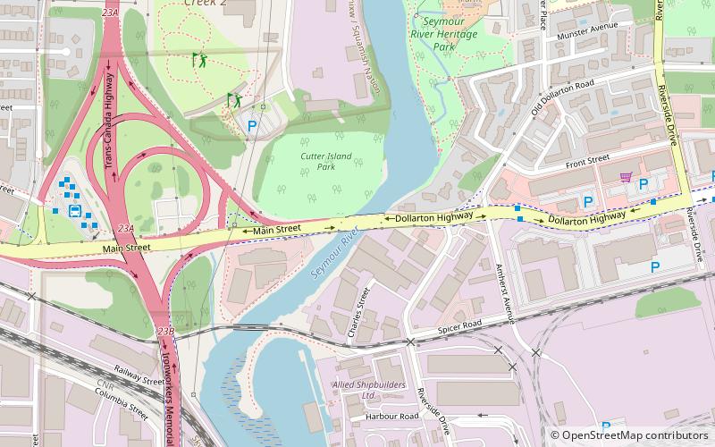
Map
Facts and practical information
The Dollarton Bridge comprises a pair of two-lane reinforced concrete spans the Seymour River in North Vancouver, British Columbia, Canada. It replaced a two-lane steel truss bridge built in 1948. It is 153 meters long. ()
Coordinates: 49°18'19"N, 123°1'19"W
Address
MaplewoodVancouver
ContactAdd
Social media
Add
Day trips
Dollarton Bridge – popular in the area (distance from the attraction)
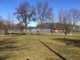
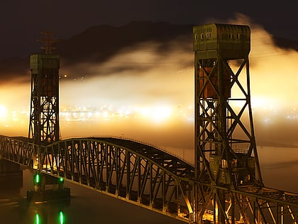
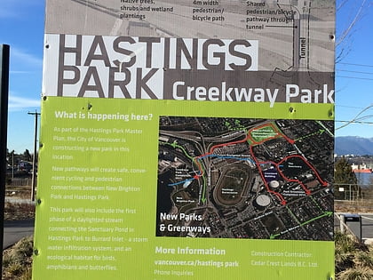
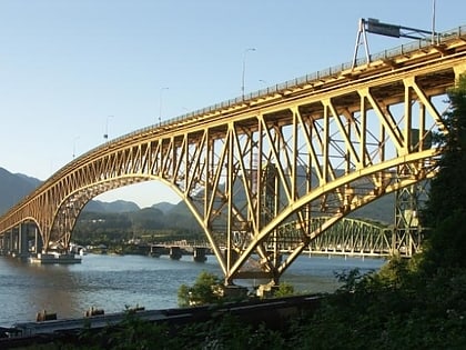
Nearby attractions include: New Brighton Park, Second Narrows Rail Bridge, Creekway Park, Ironworkers Memorial Second Narrows Crossing.
Frequently Asked Questions (FAQ)
Which popular attractions are close to Dollarton Bridge?
Nearby attractions include Ironworkers Memorial Second Narrows Crossing, Vancouver (15 min walk), Second Narrows Rail Bridge, Vancouver (17 min walk).
How to get to Dollarton Bridge by public transport?
The nearest stations to Dollarton Bridge:
Bus
Trolleybus
Bus
- Dollarton Hwy at Old Dollarton Rd • Lines: 212, 215 (5 min walk)
- Phibbs Exchange Bay 10 • Lines: 130 (8 min walk)
Trolleybus
- McGill St at North Kaslo St • Lines: 4 (41 min walk)
 SkyTrain