Gloucester, Ottawa
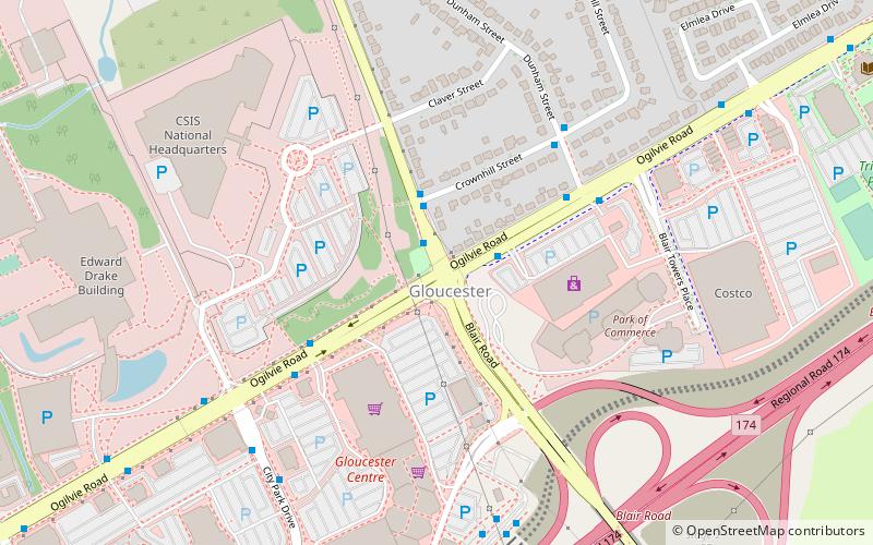
Map
Facts and practical information
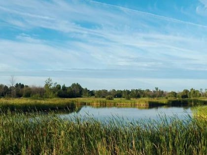
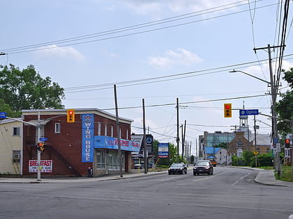
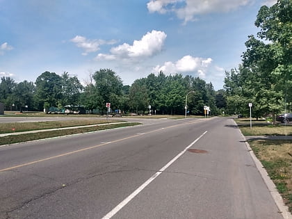
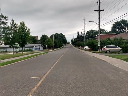
Gloucester is a suburb in the City of Ottawa. Gloucester Township was established in 1792 and originally included lands east of the Rideau River from the Ottawa River south to Manotick. It was incorporated as a township in 1850 and became a city in 1981. Gloucester was one of the 11 municipalities that merged in 2001 to form the new city of Ottawa. As of the Canada 2016 Census, the former city of Gloucester had a population of 133,280. ()
Address
Canadian National Resource CouncilOttawa
ContactAdd
Social media
Add
Day trips
Gloucester – popular in the area (distance from the attraction)
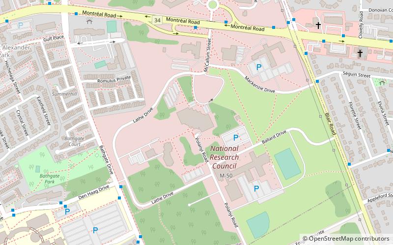
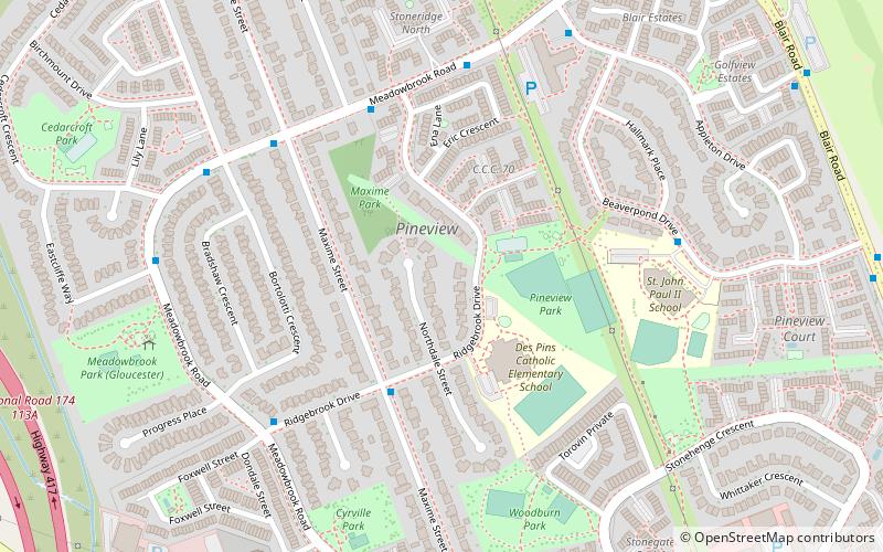
Nearby attractions include: Pine View Golf Course, National Research Council Canada National Science Library, Cyrville, Pineview.
Frequently Asked Questions (FAQ)
Which popular attractions are close to Gloucester?
Nearby attractions include Carson Grove, Ottawa (19 min walk), National Research Council Canada National Science Library, Ottawa (20 min walk), Pineview, Ottawa (23 min walk).
How to get to Gloucester by public transport?
The nearest stations to Gloucester:
Bus
Light rail
Bus
- Blair / Ogilvie • Lines: 23 (1 min walk)
- Ogilvie / Blair • Lines: 12, 24 (2 min walk)
Light rail
- Blair O-Train • Lines: 1 (8 min walk)
- Cyrville O-Train West/Ouest • Lines: 1 (31 min walk)
