Eleanor Ward Bridge, Coquitlam
Map
Facts and practical information
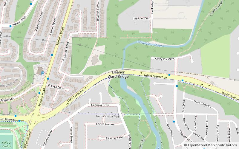
The Eleanor Ward Bridge is a four-lane road bridge in Coquitlam, British Columbia. It spans the Coquitlam River, connecting the Coquitlam Town Centre area with the Burke Mountain area of northeast Coquitlam. The $25 million bridge, with a span of 127 m, opened on August 26, 2006. ()
Length: 417 ftCoordinates: 49°17'42"N, 122°46'30"W
Address
Hockaday NestorCoquitlam
ContactAdd
Social media
Add
Getting there by public transportation
Public transportation stops near this location
- Metro
- Bus
 Metro
Metro
- Calculate routeDavid Ave at Shaughnessy St 5 min walk
- Calculate routeShaughnessy St at Shaughnessy Pl 5 min walk
- Calculate routePipeline Rd at 1300 Block 6 min walk
- Calculate routeLafarge Lake–Douglas 26 min walk
- Calculate routeLincoln 34 min walk
Day trips


Frequently Asked Questions (FAQ)
Which popular attractions are close to Eleanor Ward Bridge?
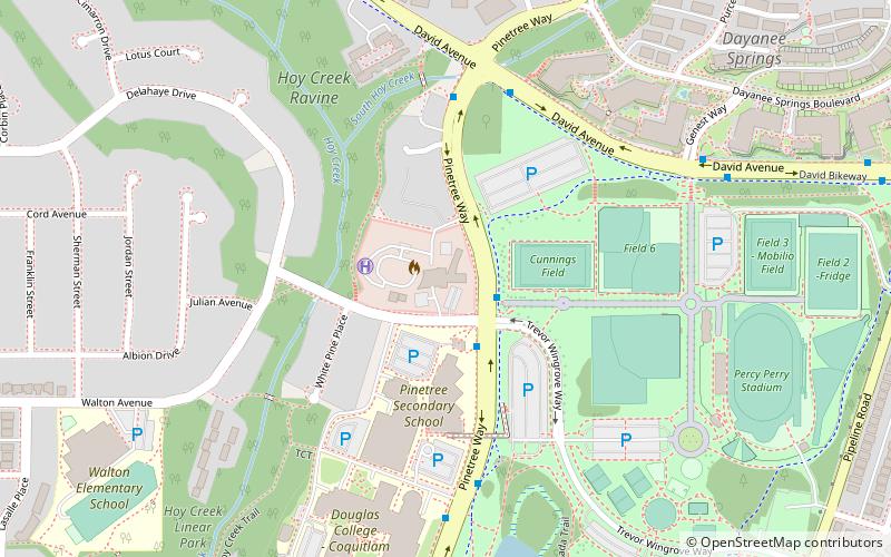
Nearby attractions include Percy Perry Stadium, Coquitlam (14 min walk), Westwood Plateau, Coquitlam (14 min walk), Town Centre Park, Coquitlam (17 min walk), Coquitlam Town Centre, Coquitlam (19 min walk).
How to get to Eleanor Ward Bridge by public transport?
The nearest stations to Eleanor Ward Bridge:
Bus
Metro
Bus
- David Ave at Shaughnessy St • Lines: 174, 188, 191 (5 min walk)
- Shaughnessy St at Shaughnessy Pl • Lines: 174 (5 min walk)
Metro
- Lafarge Lake–Douglas • Lines: Millennium Line (26 min walk)
- Lincoln • Lines: Millennium Line (34 min walk)