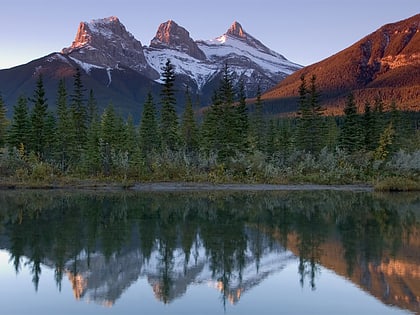
East End of Rundle, Banff National Park
Map
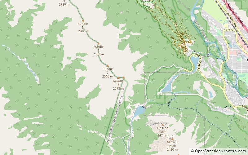
Map

Facts and practical information
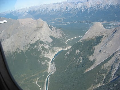
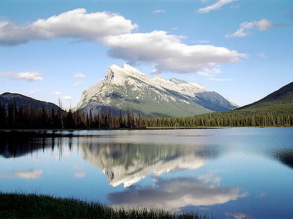
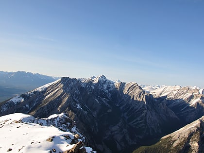
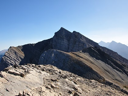
East End of Rundle is a mountain located immediately west of the town of Canmore, Alberta and immediately west of the Spray Lakes road in the Canadian Rockies. Mount Rundle occupies the space between Canmore and Banff on the southwest side of the Trans-Canada Highway. ()
Elevation: 8497 ftCoordinates: 51°4'51"N, 115°25'16"W
Address
Banff National Park
ContactAdd
Social media
Add
Day trips
East End of Rundle – popular in the area (distance from the attraction)
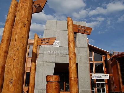
Nearby attractions include: Grassi Lakes, Ha Ling Peak, Mount Rundle, Canmore Museum and Geoscience Centre.
