Church of the Holy Cross
Map

Map

Facts and practical information
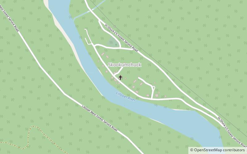
The Church of the Holy Cross is a National Historic Site of Canada, located on one of the Indian reserves of the Skatin First Nation, in southwestern British Columbia. It is located on the east side of the Lillooet River on BC's first inland Gold Rush trail, the Douglas Road. Skatin Nations is the St'at'imcets language rendition of the reserve-town's usual name in English, Skookumchuck Hot Springs. ()
Coordinates: 49°56'14"N, 122°24'32"W
Location
British Columbia
ContactAdd
Social media
Add
