George Dunbar Bridge, Ottawa
Map
Map

Facts and practical information
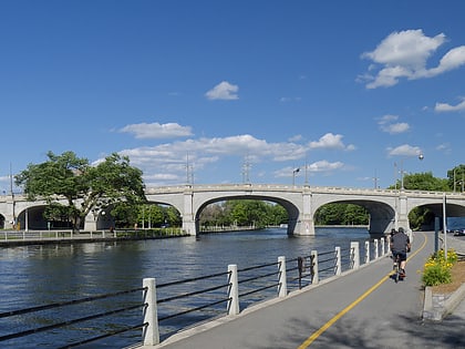
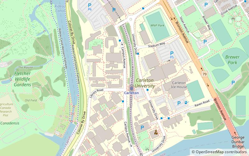
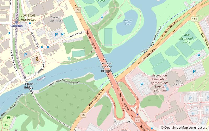
The George Dunbar Bridge is a vehicular and pedestrian bridge in Ottawa, Ontario, Canada, carrying Bronson Avenue over the Rideau River and connecting it to the Airport Parkway. ()
Coordinates: 45°22'59"N, 75°41'19"W
Address
Confederation HeightsOttawa
ContactAdd
Social media
Add
Day trips
George Dunbar Bridge – popular in the area (distance from the attraction)
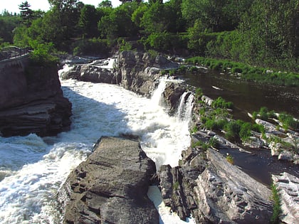
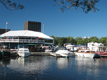
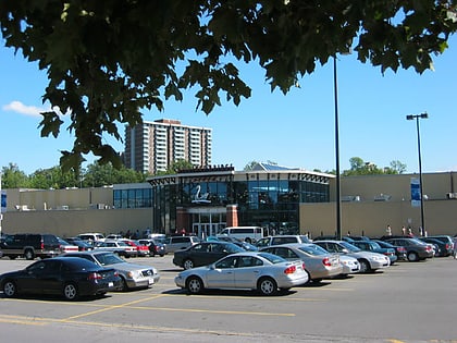
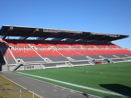
Nearby attractions include: Hog's Back Falls, Dow's Lake, Billings Bridge Plaza, TD Place Stadium.
Frequently Asked Questions (FAQ)
Which popular attractions are close to George Dunbar Bridge?
Nearby attractions include Brewer Park, Ottawa (7 min walk), Edward Drake Building, Ottawa (9 min walk), Confederation Heights, Ottawa (10 min walk), Vincent Massey Park, Ottawa (11 min walk).
How to get to George Dunbar Bridge by public transport?
The nearest stations to George Dunbar Bridge:
Bus
Bus
- Raven / University • Lines: 10, 111 (7 min walk)
- 1500 Bronson • Lines: 10 (8 min walk)

