Cornell, Markham
Map
Gallery
Facts and practical information
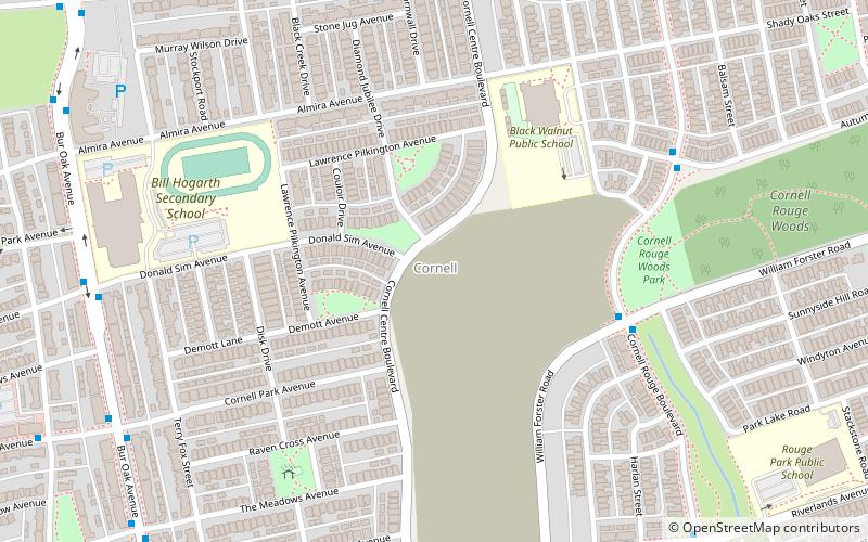
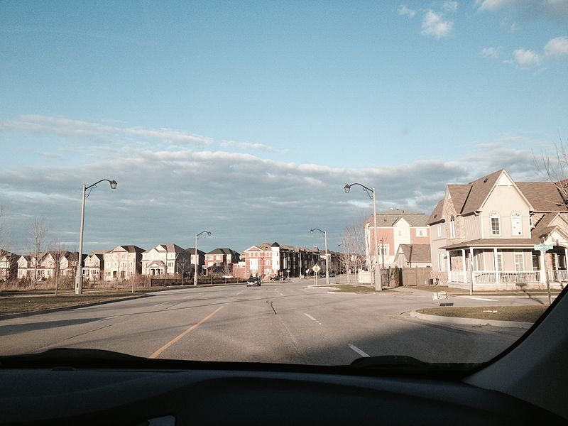
Cornell is a new community village being developed in northeast Markham, Ontario and bounded by Highway 407, 16th Avenue, Ninth Line, and the Donald Cousens Parkway. The 2011 population of this area was 9,880. Adding Cornell North's 2,178 it had 12,058 residents. ()
Established: 1999 (27 years ago)Coordinates: 43°53'31"N, 79°13'27"W
Address
CornellMarkham
ContactAdd
Social media
Add
Day trips
Cornell – popular in the area (distance from the attraction)
Nearby attractions include: Markville Shopping Centre, Markham Museum, St. Dimitrija Solunski Macedonian Orthodox Church, Markham Village.
Frequently Asked Questions (FAQ)
Which popular attractions are close to Cornell?
Nearby attractions include Cornell Community Centre & Library, Markham (15 min walk), 16th Avenue Bailey Bridge, Markham (23 min walk).
How to get to Cornell by public transport?
The nearest stations to Cornell:
Bus
Bus
- Cornell Rouge Boulevard / William Forster Road • Lines: 25 (5 min walk)
- White's Hill Avenue / John Allan Cameron Street • Lines: 25 (9 min walk)


