Jarry Street, Montreal
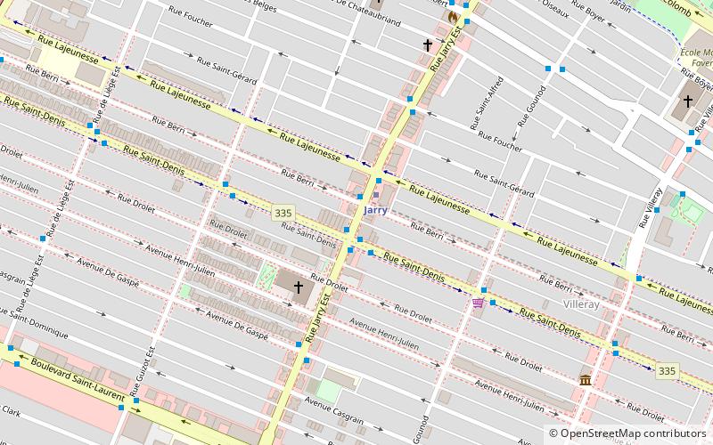
Map

Gallery

Facts and practical information
Rue Jarry is a street on the Island of Montreal which stretches from Boulevard de l'Acadie in the west to Boulevard Ray-Lawson to the east. It is named for settler of St. Laurent, Quebec Bernard Bleignier dit Jarry. ()
Coordinates: 45°32'34"N, 73°37'44"W
Address
Villeray-Saint-Michel-Parc-Extension (Parc-Jarry)Montreal
ContactAdd
Social media
Add
Day trips
Jarry Street – popular in the area (distance from the attraction)
Nearby attractions include: Centre Rockland, Stade IGA, Church of the Madonna della Difesa, St. George Antiochian Orthodox Church.
Frequently Asked Questions (FAQ)
Which popular attractions are close to Jarry Street?
Nearby attractions include Jarry Park, Montreal (14 min walk), Christophe Colomb Avenue, Montreal (17 min walk), Stade IGA, Montreal (18 min walk), St. George Antiochian Orthodox Church, Montreal (19 min walk).
How to get to Jarry Street by public transport?
The nearest stations to Jarry Street:
Bus
Metro
Train
Bus
- Station Jarry • Lines: 193-E, 193-O, 31-N (1 min walk)
- Jarry / Saint-Denis • Lines: 193-E, 193-O (1 min walk)
Metro
- Jarry • Lines: 2 (1 min walk)
- Crémazie • Lines: 2 (14 min walk)
Train
- Parc (21 min walk)

 Metro
Metro


