Villeray, Montreal

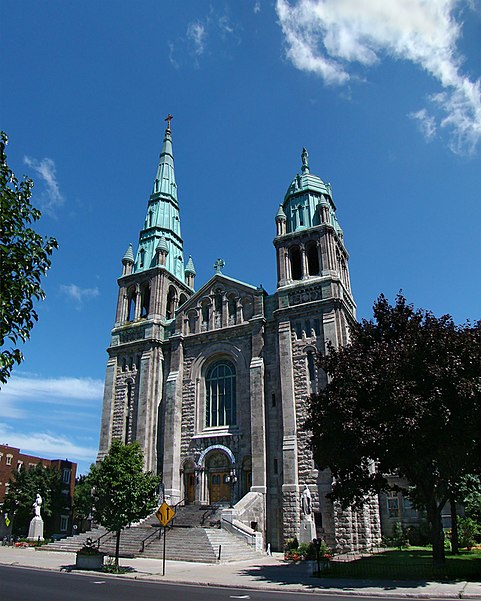
Gallery (2)
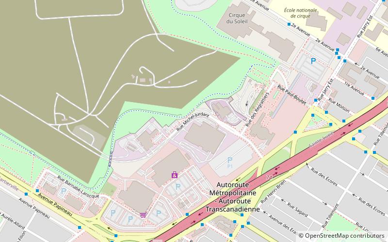
Map
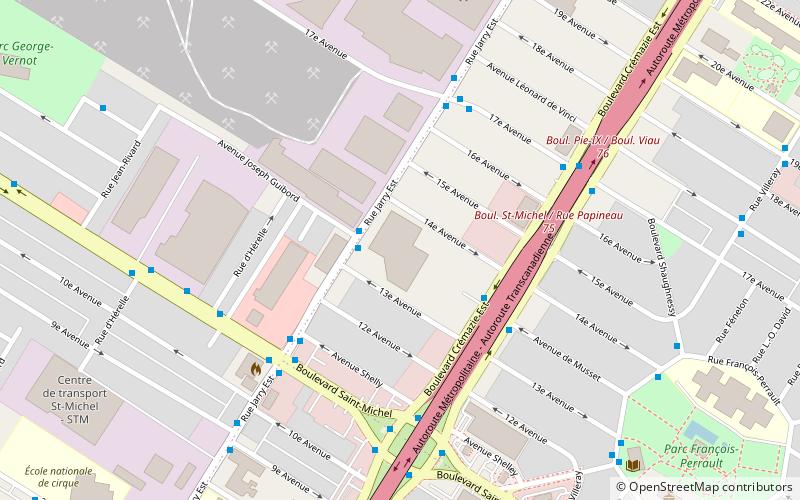
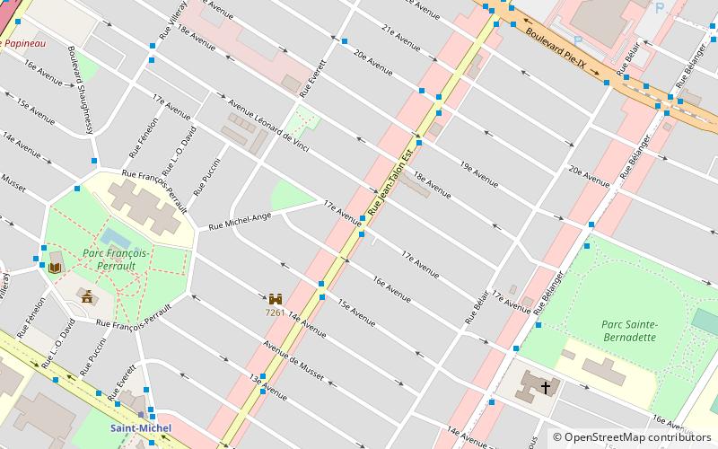
Map
Gallery
Facts and practical information
Villeray is a neighbourhood in Montreal, Quebec, Canada. It is part of the Villeray–Saint-Michel–Parc-Extension borough and is situated in the north-central part of the Island of Montreal. ()
Address
Villeray-Saint-Michel-Parc-Extension (Saint-Michel)Montreal
ContactAdd
Social media
Add
Getting there by public transportation
Public transportation stops near this location
- Metro
- Bus
 Metro
Metro
- Calculate routeCrémazie / De Lorimier 5 min walk
- Calculate routeCrémazie / Chabot 6 min walk
- Calculate routeDe Lorimier / Crémazie 6 min walk
- Calculate routeJarry / Crémazie 6 min walk
- Calculate routeD’Iberville 23 min walk
- Calculate routeSaint-Michel 24 min walk
- Calculate routeFabre 26 min walk
- Calculate routeJarry 30 min walk
Maps Metro
Metro
MetroDay trips


Frequently Asked Questions (FAQ)
Which popular attractions are close to Villeray?
Nearby attractions include Frédéric-Back Park, Montreal (14 min walk), Villeray–Saint-Michel–Parc-Extension, Montreal (18 min walk).
How to get to Villeray by public transport?
The nearest stations to Villeray:
Bus
Metro
Bus
- Crémazie / De Lorimier • Lines: 192-O (5 min walk)
- Crémazie / Chabot • Lines: 10-S, 192-O (6 min walk)
Metro
- D’Iberville • Lines: 5 (23 min walk)
- Saint-Michel • Lines: 5 (24 min walk)