Jean Talon Street, Montreal

Map
Facts and practical information
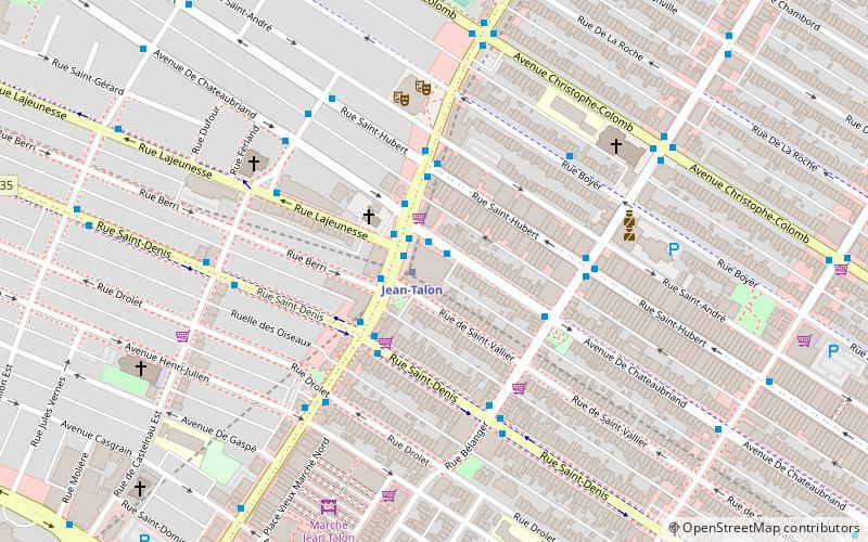
Jean Talon Street is one of the longest streets on the Island of Montreal. It runs from Decarie Boulevard in the west through Anjou in the east to Galeries d'Anjou. Jean Talon was the first Intendant of New France. In the Town of Mount Royal, it is called Dresden Avenue. In the Montreal Borough of Saint Leonard, it is colloquially known as Via Italia. ()
Coordinates: 45°32'21"N, 73°36'47"W
Day trips
Jean Talon Street – popular in the area (distance from the attraction)
Nearby attractions include: Stade IGA, Saint-Jean-Berchmans Church, Saint-Ambroise Church, Parc Sir-Wilfrid-Laurier.
Frequently Asked Questions (FAQ)
Which popular attractions are close to Jean Talon Street?
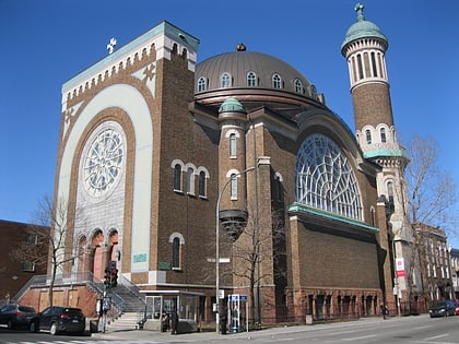
Nearby attractions include St. George Antiochian Orthodox Church, Montreal (3 min walk), Saint-Arsène Church, Montreal (6 min walk), Marché Jean Talon, Montreal (7 min walk), Rosemont–La Petite-Patrie, Montreal (8 min walk).
How to get to Jean Talon Street by public transport?
The nearest stations to Jean Talon Street:
Bus
Metro
Train
Bus
- Station Jean-Talon • Lines: 30-S, 95-E (1 min walk)
- Jean-Talon / De Saint-Vallier • Lines: 95-O (1 min walk)
Metro
- Jean-Talon • Lines: 2, 5 (1 min walk)
- De Castelnau • Lines: 5 (12 min walk)
Train
- Parc (20 min walk)
 Metro
Metro


