Viger Square, Montreal
Map

Gallery
Facts and practical information
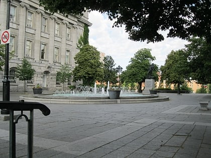
Viger Square is an urban square in Montreal, Quebec, Canada. It was greatly changed by the construction of the Ville-Marie Expressway in the 1970s. The square is divided into three sections. It is bordered to the west by Saint Denis Street, to the east by Saint André Street, to the north by Viger Street, and to the south by Saint Antoine Street. ()
Coordinates: 45°30'40"N, 73°33'18"W
Day trips
Viger Square – popular in the area (distance from the attraction)
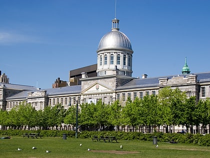
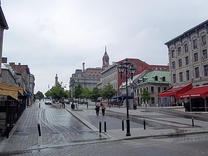
Nearby attractions include: Saint Denis Street, Marché Bonsecours, Notre-Dame-de-Bon-Secours Chapel, City Hall.
Frequently Asked Questions (FAQ)
Which popular attractions are close to Viger Square?
Nearby attractions include Sir George-Étienne Cartier National Historic Site, Montreal (4 min walk), City Hall, Montreal (4 min walk), Gilles-Hocquart Building, Montreal (5 min walk), Champ de Mars, Montreal (5 min walk).
How to get to Viger Square by public transport?
The nearest stations to Viger Square:
Bus
Metro
Train
Bus
- Saint-Denis / Saint-Antoine • Lines: 14-S (1 min walk)
- Berri / Viger • Lines: 14-N, 30-S (3 min walk)
Metro
- Champ-de-Mars • Lines: 2 (3 min walk)
- Place d’Armes • Lines: 2 (11 min walk)
Train
- Montreal Central Station (25 min walk)
- Fort Edmonton (32 min walk)

 Metro
Metro