Brevoort Park, Saskatoon
Map
Gallery
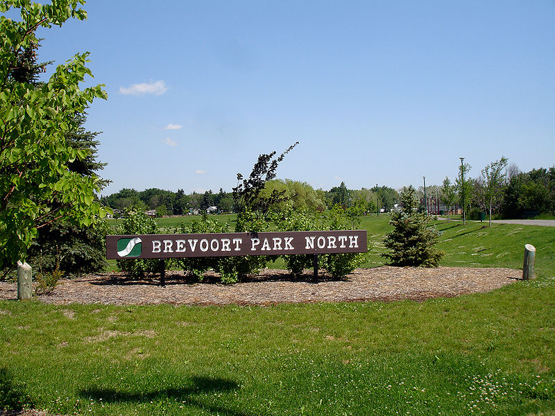
Facts and practical information
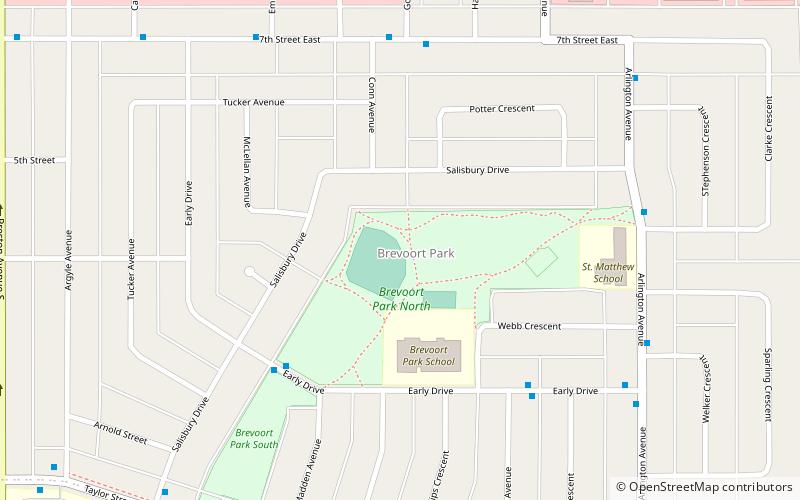
Brevoort Park is a primarily residential neighbourhood located in the southeast part of Saskatoon, Saskatchewan, Canada. It includes part of the 8th Street business district. Just over half of its dwellings are single detached houses, with a sizeable minority of duplex or apartment-style multiple unit dwellings. As of 2007, the area is home to 3,424 residents. The neighbourhood is considered a middle-income area, with an average family income of $52,098, and a home ownership rate of 54.0%. ()
Area: 0.47 mi²Coordinates: 52°6'37"N, 106°36'50"W
Day trips
Brevoort Park – popular in the area (distance from the attraction)
Nearby attractions include: Market Mall, The Centre, Merlis Belsher Place, U of S Lands South Management Area.
Frequently Asked Questions (FAQ)
Which popular attractions are close to Brevoort Park?
Nearby attractions include Greystone Heights, Saskatoon (15 min walk), Holliston, Saskatoon (19 min walk), Saskatoon Eastview, Saskatoon (20 min walk), Horizon College and Seminary, Saskatoon (22 min walk).
How to get to Brevoort Park by public transport?
The nearest stations to Brevoort Park:
Bus
Bus
- 7th Street & Arlington Avenue • Lines: 6 (5 min walk)
- Arlington Avenue & Clarke Crescent • Lines: 6 (6 min walk)


