Mount Tod
Map

Map

Facts and practical information
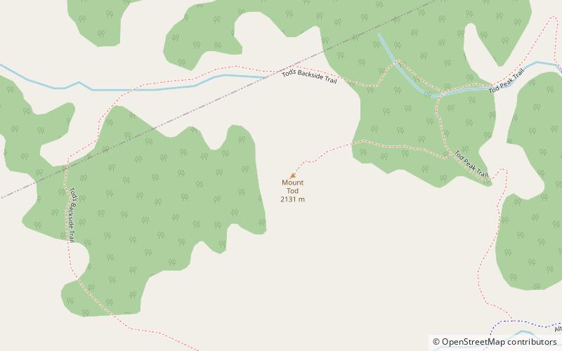
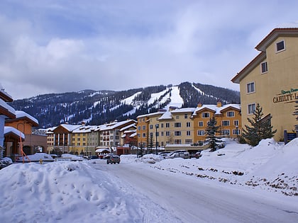
Mount Tod commonly known as Tod Mountain, is a summit 50 km northeast of Kamloops, British Columbia, Canada. Located northeast of the junction of Louis and McGillivray Creeks, it is part of the upland area between the Interior Plateau and the Monashee Mountains known as the Shuswap Highland, the mountain is the highest of three summits comprising the Sun Peaks alpine ski resort. ()
Elevation: 7070 ftProminence: 4997 ftCoordinates: 50°54'60"N, 119°56'28"W
Location
British Columbia
ContactAdd
Social media
Add
Day trips
Mount Tod – popular in the area (distance from the attraction)
Nearby attractions include: Sun Peaks Resort, Sun Peaks.


