Kerr Hall, Toronto
Map
Gallery
Facts and practical information
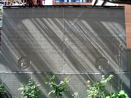
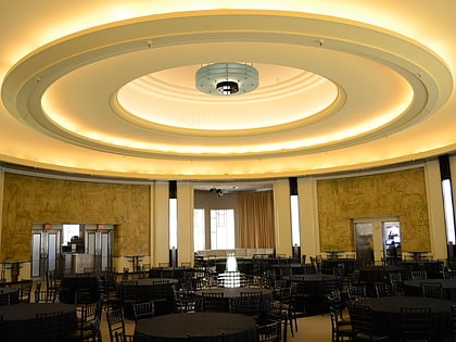
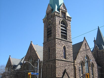
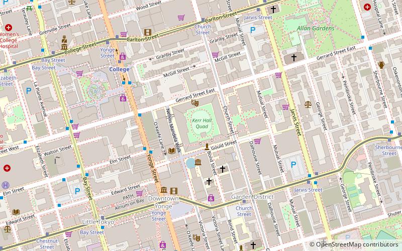
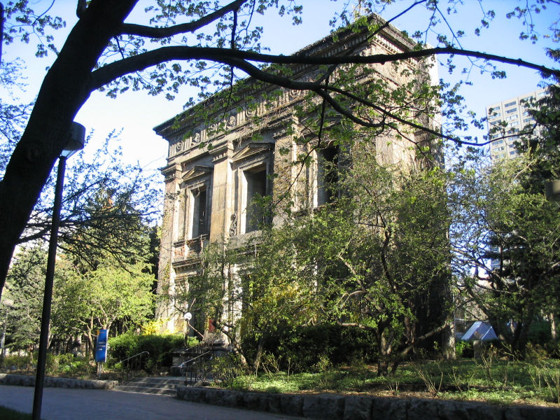
Kerr Hall is a series of four buildings in a square, surrounding Ryerson Community Park, on the campus of Ryerson University in Toronto, Canada. Kerr Hall is on the site of the former Toronto Normal School. All but a portion of the Normal School's front façade was demolished in the late 1950s to enable the construction of: ()
Coordinates: 43°39'31"N, 79°22'45"W
Address
Downtown Toronto (Garden District)Toronto
ContactAdd
Social media
Add
Day trips
Kerr Hall – popular in the area (distance from the attraction)
Nearby attractions include: CF Toronto Eaton Centre, Atrium on Bay, Maple Leaf Gardens, College Park.
Frequently Asked Questions (FAQ)
Which popular attractions are close to Kerr Hall?
Nearby attractions include Ryerson University, Toronto (2 min walk), Oakham House, Toronto (3 min walk), Library Building, Toronto (3 min walk), Ryerson Image Centre, Toronto (3 min walk).
How to get to Kerr Hall by public transport?
The nearest stations to Kerr Hall:
Metro
Tram
Bus
Train
Metro
- Dundas • Lines: 1 (5 min walk)
- College • Lines: 1 (6 min walk)
Tram
- Yonge Street • Lines: 505 (5 min walk)
- Church Street • Lines: 505 (5 min walk)
Bus
- Elm Street • Lines: 19 (8 min walk)
- Gerrard Street West • Lines: 19 (8 min walk)
Train
- Toronto Union Station (25 min walk)

 Subway
 Streetcar system
 PATH
PATH