Louis Bisson Bridge, Laval
Map

Gallery

Facts and practical information
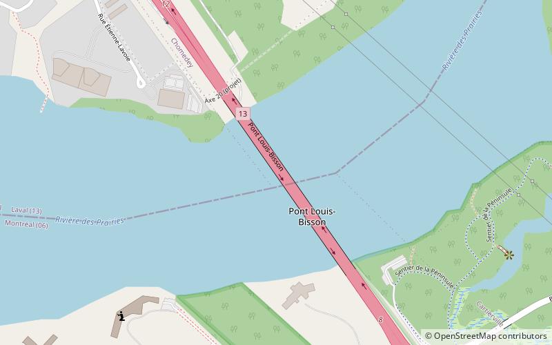
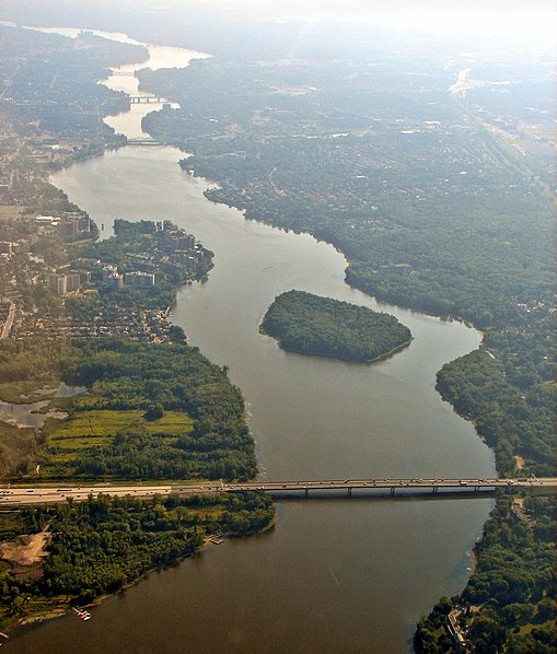
Louis Bisson Bridge spans the Rivière des Prairies between the eastern tip of Montreal's Pierrefonds-Roxboro borough and the district of Chomedey in Laval, Quebec, Canada. It carries 7 lanes of Quebec Highway 13, including one reversible lane at the centre. That lane is an example of a permanent zipper lane. ()
Coordinates: 45°30'43"N, 73°45'55"W
Address
Laval
ContactAdd
Social media
Add
Day trips
Louis Bisson Bridge – popular in the area (distance from the attraction)
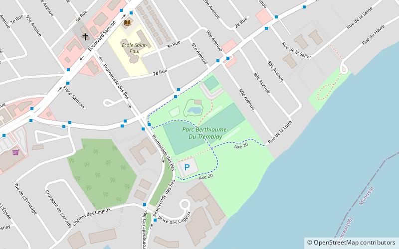
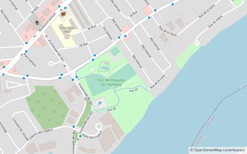
Nearby attractions include: Bois-de-Saraguay Nature Park, Bois-de-Liesse Nature Park, Parc Berthiaume-du-Tremblay, Villa Saint Martin.
Frequently Asked Questions (FAQ)
Which popular attractions are close to Louis Bisson Bridge?
Nearby attractions include Villa Saint Martin, Montreal (9 min walk), Bois-de-Liesse Nature Park, Montreal (12 min walk).
How to get to Louis Bisson Bridge by public transport?
The nearest stations to Louis Bisson Bridge:
Bus
Bus
- Gouin / No 9409 • Lines: 213-O, 68-O (9 min walk)
- Gouin / Autoroute 13 • Lines: 213-E, 68-E (9 min walk)


