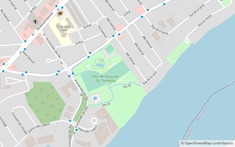
Parc Berthiaume-du-Tremblay, Laval
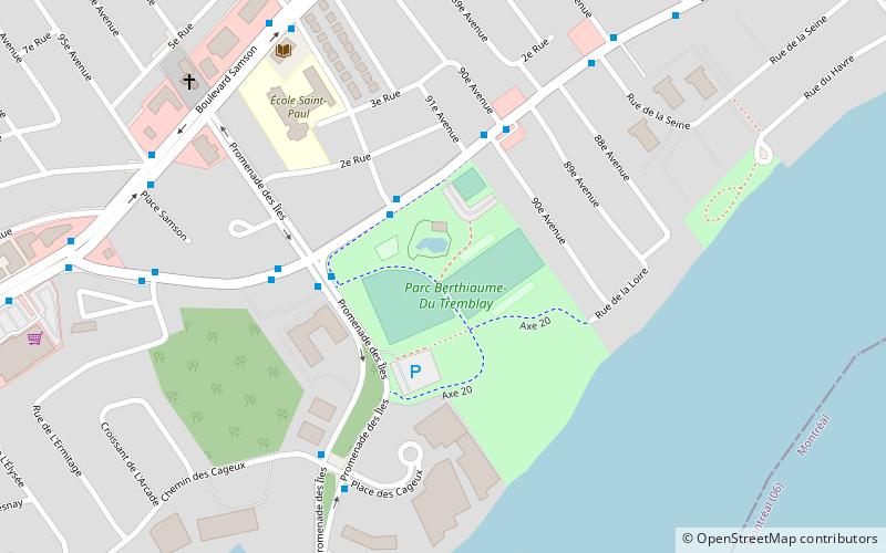
Map
Facts and practical information
Elevation: 85 ft a.s.l.Coordinates: 45°31'46"N, 73°44'54"W
Getting there by public transportation
Public transportation stops near this location
- Bus
 Bus
Bus
- Calculate routeLévesque / 92e Avenue 3 min walk
- Calculate routeDes îles / Lévesque 3 min walk
- Calculate routeLévesque / Des îles 5 min walk
Day trips


Frequently Asked Questions (FAQ)
How to get to Parc Berthiaume-du-Tremblay by public transport?
The nearest stations to Parc Berthiaume-du-Tremblay:
Bus
Bus
- Lévesque / 92e Avenue • Lines: 144E, 144O, 20E, 20O (3 min walk)
- Des îles / Lévesque • Lines: 20E, 20O (3 min walk)