Low Level Bridge, Edmonton
Map
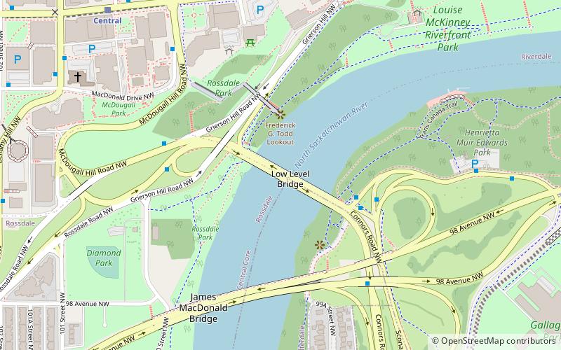
Map

Facts and practical information
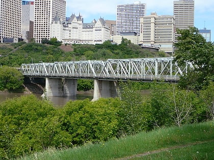
The Low Level Bridge is a bridge that spans the North Saskatchewan River in Edmonton, Alberta, Canada. Completed in 1900, this was the first bridge across the North Saskatchewan River. It was designed to carry a railway, and a railway track was added in 1902 to accommodate the Edmonton, Yukon and Pacific Railway. ()
Opened: 1900 (126 years ago)Length: 699 ftCoordinates: 53°32'17"N, 113°29'13"W
Address
North Central Edmonton (Rossdale)Edmonton
ContactAdd
Social media
Add
Day trips
Low Level Bridge – popular in the area (distance from the attraction)
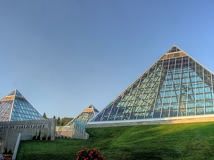
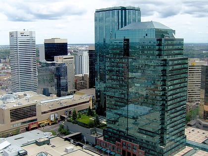
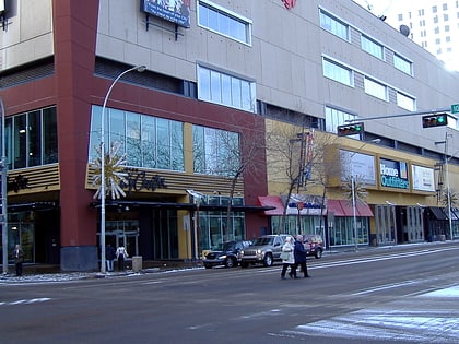
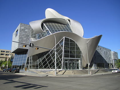
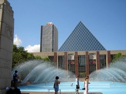
Nearby attractions include: Muttart Conservatory, Manulife Place, Commerce Place, Edmonton City Centre.
Frequently Asked Questions (FAQ)
Which popular attractions are close to Low Level Bridge?
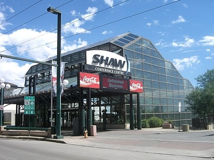
Nearby attractions include James MacDonald Bridge, Edmonton (5 min walk), ATB Place, Edmonton (6 min walk), Edmonton Queen, Edmonton (6 min walk), Shaw Conference Centre, Edmonton (7 min walk).
How to get to Low Level Bridge by public transport?
The nearest stations to Low Level Bridge:
Bus
Light rail
Bus
- Thornton Court & Jasper Ave • Lines: 2, 5 (7 min walk)
- 97 Street & Jasper Ave • Lines: 2, 2-Owl, 5 (8 min walk)
Light rail
- Central • Lines: 501, 502 (8 min walk)
- Churchill • Lines: 501, 502 (11 min walk)
