Carlisle, Edmonton
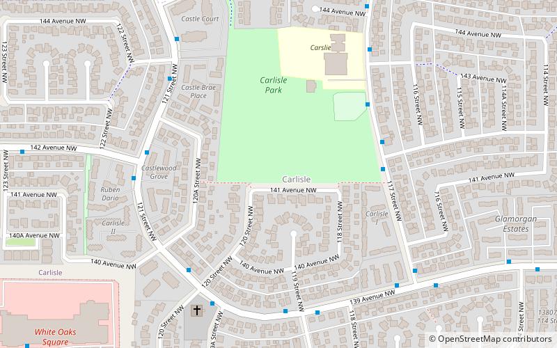
Map
Facts and practical information
Carlisle is a residential neighbourhood in the Castledowns area of north west Edmonton, Alberta, Canada. The neighbourhood is named for Carlisle Castle in England. ()
Area: 0.37 mi²Coordinates: 53°36'13"N, 113°31'34"W
Address
Northwest Edmonton (Carlisle)Edmonton
ContactAdd
Social media
Add
Day trips
Carlisle – popular in the area (distance from the attraction)
Nearby attractions include: Baranow, Beaumaris, Hudson, Lauderdale.
Frequently Asked Questions (FAQ)
Which popular attractions are close to Carlisle?
Nearby attractions include Baranow, Edmonton (14 min walk), Caernarvon, Edmonton (14 min walk), Kensington, Edmonton (15 min walk), Griesbach, Edmonton (24 min walk).
How to get to Carlisle by public transport?
The nearest stations to Carlisle:
Bus
Bus
- 137 Ave & 119 Street • Lines: 137 (8 min walk)
