Baranow, Edmonton
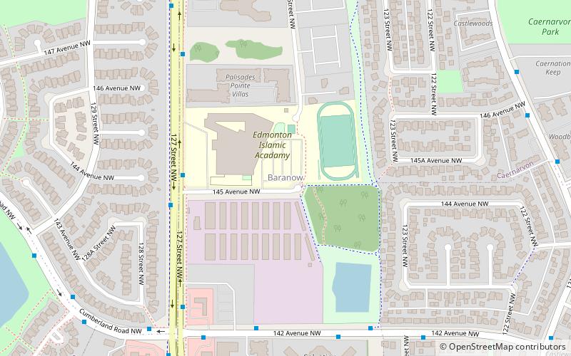
Map
Facts and practical information
Baranow is a neighbourhood in the Castledowns area of north Edmonton, Alberta, Canada. There is some commercial development at the south end of the neighbourhood along 137 Avenue. Development of the neighbourhood occurred in two periods. The first period occurred between the end of World War II and 1960 in Canada, during which approximately one in eight residences were constructed. The second period occurred after 1996 when the remaining residences were constructed. ()
Area: 192.74 acres (0.3012 mi²)Coordinates: 53°36'25"N, 113°32'17"W
Address
Northwest Edmonton (Baranow)Edmonton
ContactAdd
Social media
Add
Day trips
Baranow – popular in the area (distance from the attraction)
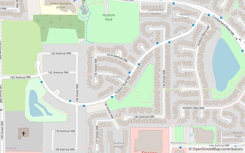
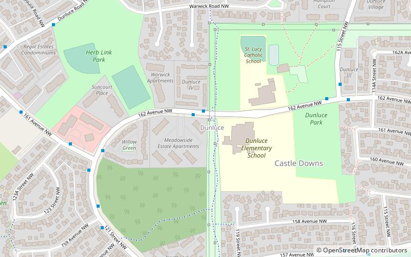
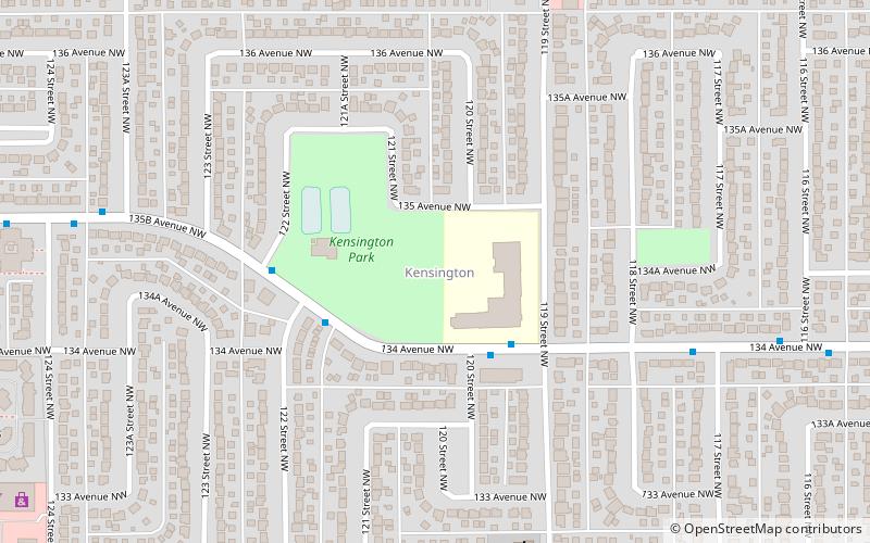
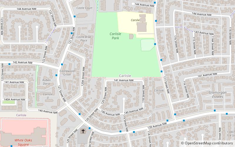
Nearby attractions include: Hudson, Dunluce, Kensington, Carlisle.
Frequently Asked Questions (FAQ)
Which popular attractions are close to Baranow?
Nearby attractions include Caernarvon, Edmonton (14 min walk), Carlisle, Edmonton (14 min walk), Cumberland, Edmonton (16 min walk), Hudson, Edmonton (18 min walk).
How to get to Baranow by public transport?
The nearest stations to Baranow:
Bus
Bus
- 137 Ave & 127 Street • Lines: 137 (14 min walk)
