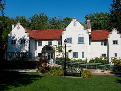
Cooksville, Mississauga
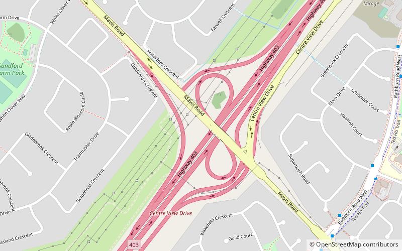
Map
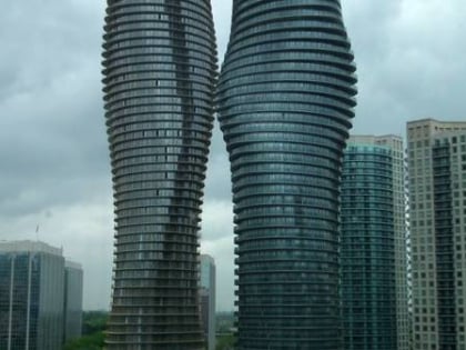
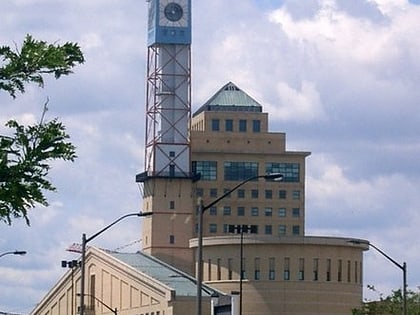
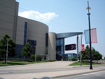
Gallery
Facts and practical information
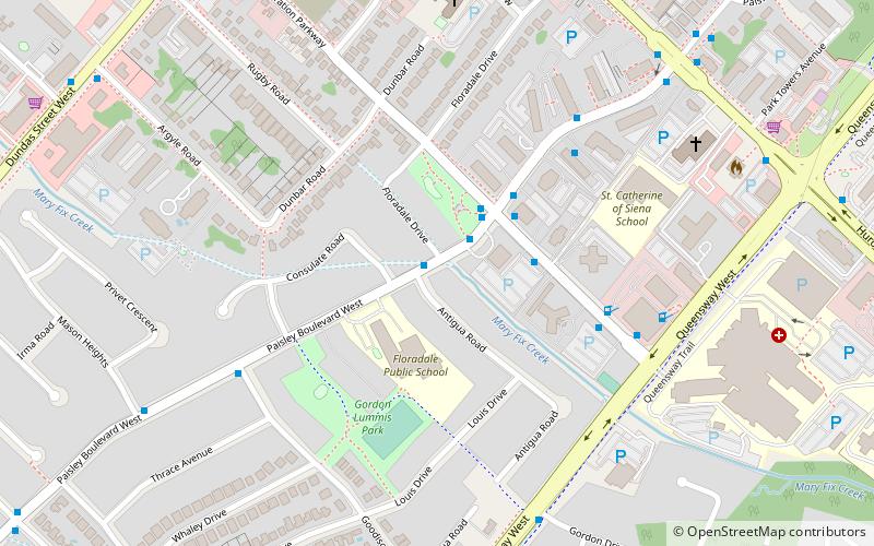
Cooksville is a neighbourhood in the city of Mississauga, Regional Municipality of Peel, in the Greater Toronto Area region of Ontario, Canada. It is located at the intersection of Dundas Street and Hurontario Street near the eponymous Cooksville Creek. ()
Coordinates: 43°34'22"N, 79°36'53"W
Address
CooksvilleMississauga
ContactAdd
Social media
Add
Day trips
Cooksville – popular in the area (distance from the attraction)
Nearby attractions include: Square One, Dixie Outlet Mall, Mississauga Celebration Square, Art Gallery of Mississauga.
Frequently Asked Questions (FAQ)
How to get to Cooksville by public transport?
The nearest stations to Cooksville:
Bus
Train
Bus
- Paisley Boulevard • Lines: 103 (9 min walk)
- Queensway • Lines: 103 (10 min walk)
Train
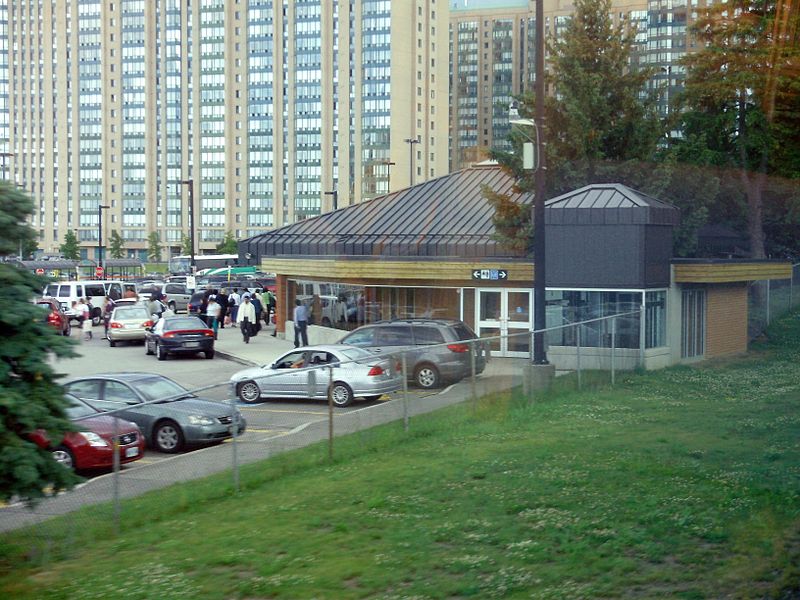
- Cooksville (22 min walk)


