Maryland Bridge, Winnipeg
Map
Gallery
Facts and practical information
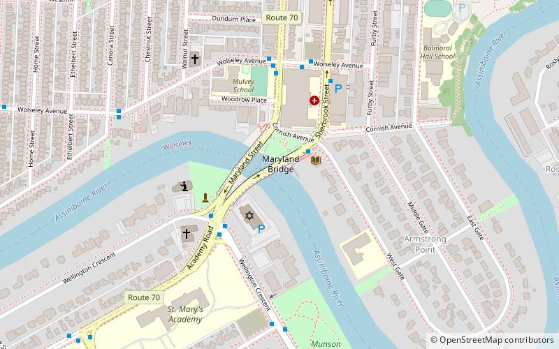
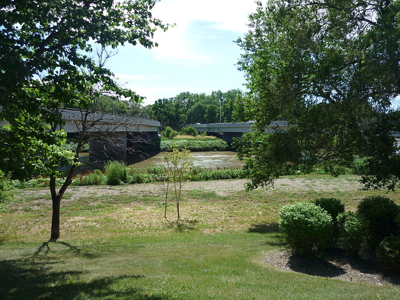
The Maryland Bridge is a bridge that crosses over the Assiniboine River in Winnipeg, Manitoba. It serves as a major transportation route for Winnipeg. The bridge connects Academy Road with Maryland Street and Sherbrook Street. The current structure is the third bridge to span this section of the river. All three bridges were called the Maryland Bridge. Nearby landmarks include Misericordia Health Centre, Cornish Library, and Shaarey Zedek Synagogue. ()
Completed: 1969 (57 years ago)Coordinates: 49°52'41"N, 97°9'40"W
Address
Central Winnipeg (Armstrong Point)Winnipeg
ContactAdd
Social media
Add
Day trips
Maryland Bridge – popular in the area (distance from the attraction)
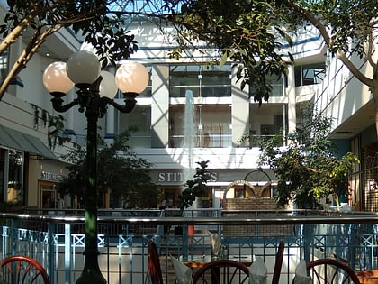
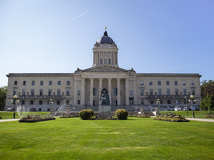
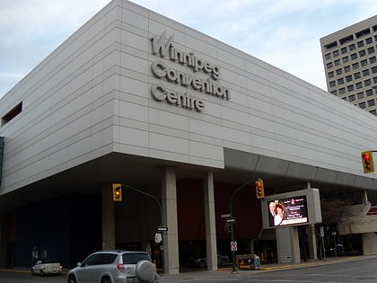
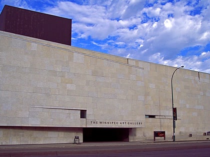
Nearby attractions include: Portage Place, Manitoba Legislative Building, RBC Convention Centre Winnipeg, Winnipeg Art Gallery.
Frequently Asked Questions (FAQ)
Which popular attractions are close to Maryland Bridge?
Nearby attractions include Cornish Library, Winnipeg (2 min walk), Shaarey Zedek Synagogue, Winnipeg (2 min walk), Armstrong's Point, Winnipeg (6 min walk), The Stoneware Gallery, Winnipeg (16 min walk).
How to get to Maryland Bridge by public transport?
The nearest stations to Maryland Bridge:
Bus
Bus
- Northbound Sherbrook at West Gate • Lines: 20, 29, 635 (2 min walk)
- Westbound Wellington at Academy • Lines: 635 (3 min walk)

