Meadow Falls, Wells Gray Provincial Park

Gallery (2)
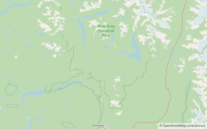
Map


Map
Gallery
Facts and practical information
Meadow Falls is one of seven waterfalls on the Murtle River west of Murtle Lake in Wells Gray Provincial Park, east-central British Columbia, Canada. Meadow Falls is 8 m high. ()
Coordinates: 52°4'0"N, 119°58'59"W
Address
Wells Gray Provincial Park
ContactAdd
Social media
Add
Day trips