Sleeping Giant Provincial Park

Gallery (3)
Map
Map
Gallery
Facts and practical information
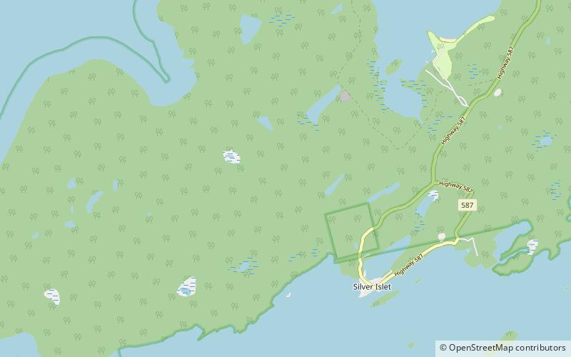
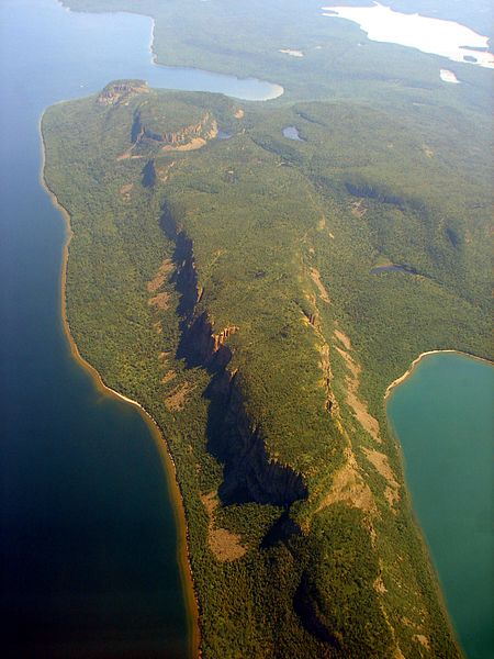
Sleeping Giant Provincial Park, established in 1944 as Sibley Provincial Park and renamed in 1988, is a 244-square-kilometre park located on the Sibley Peninsula in Northwestern Ontario, east of Thunder Bay. The nearest communities are Pass Lake, in the township of Sibley, located at the northern entrance to the park, and Dorion, located 35 kilometres NW, in the township of Shuniah. The seasonal community of Silver Islet is located on the southern tip of the peninsula. The primary feature of the park is the Sleeping Giant, which is most visible from the city of Thunder Bay. ()
Day trips
Sleeping Giant Provincial Park – popular in the area (distance from the attraction)
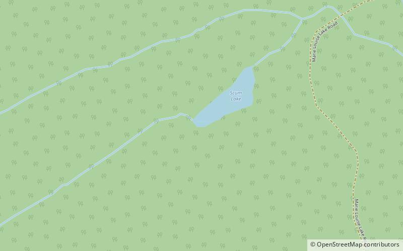
Nearby attractions include: Scum Lake.