Montrose Swing Bridge, Niagara Falls
Map
Facts and practical information
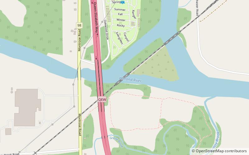
The Montrose Swing Bridge is located on the Welland River at the junction with the Queenston Power Canal in the southeast portion of the City of Niagara Falls, Ontario, Canada. It was built ca. 1910 to carry the Canada Southern Railway over the river. It is a two-track bridge, although only one track remains in use today. It crosses the river at roughly a 45-degree angle. ()
Opened: 1910 (116 years ago)Coordinates: 43°2'46"N, 79°7'12"W
Address
Grassybrook (Rexinger)Niagara Falls
ContactAdd
Social media
Add
Day trips
Montrose Swing Bridge – popular in the area (distance from the attraction)
Nearby attractions include: Horseshoe Falls, Journey Behind the Falls, Marineland of Canada, Queen Victoria Park.


