Woodbridge, Vaughan
Map

Gallery

Facts and practical information
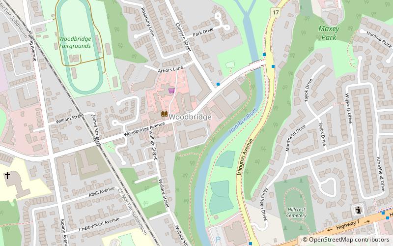
Woodbridge is a large suburban community in Vaughan, Ontario, Canada, along the city's border with Toronto. It is situated west of Highway 400 and east of Highway 50, north of Steeles Avenue, and generally south of Major Mackenzie Drive West. It was once an independent town before being amalgamated with nearby communities to form the city in 1971. Its traditional downtown core is the Woodbridge Avenue stretch between Islington Avenue and Kipling Avenue north of Highway 407. ()
Address
West WoodbridgeVaughan
ContactAdd
Social media
Add
Day trips
Woodbridge – popular in the area (distance from the attraction)
Nearby attractions include: Vaughan Mills, Wild Water Kingdom, BAPS Shri Swaminarayan Mandir Toronto, Black Creek Pioneer Village.
Frequently Asked Questions (FAQ)
How to get to Woodbridge by public transport?
The nearest stations to Woodbridge:
Bus
Bus
- Islington Avenue / Woodbridge Avenue • Lines: 13 (6 min walk)
- Highway 7 / Islington Avenue • Lines: 501, 77, Orange (8 min walk)


