Fort Témiscamingue

Gallery (2)
Map

Map
Gallery
Facts and practical information
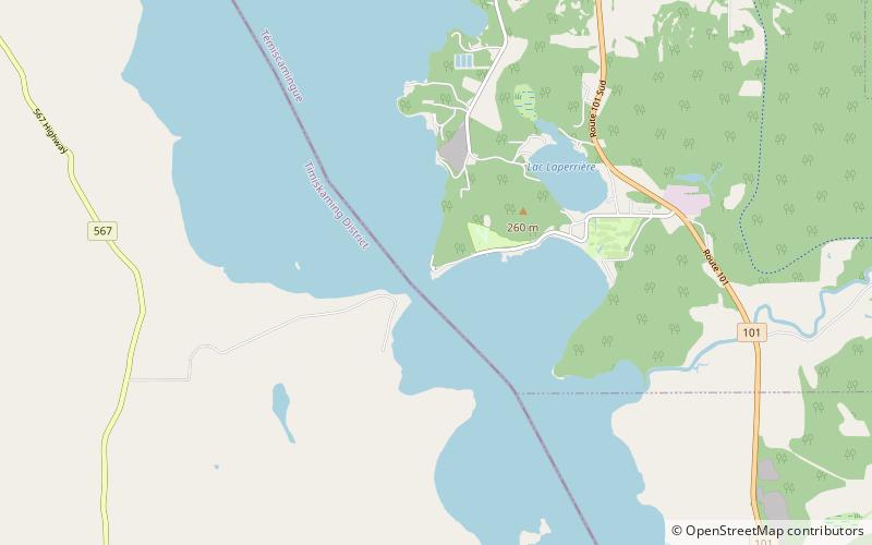
Fort Témiscamingue was a trading post from the 17th century in Duhamel-Ouest, Quebec, near Ville-Marie, Canada, located on the fur trade route on the east shore of Lake Timiskaming. The fort is a National Historic Site, operated as part of the national park system by Parks Canada, in partnership with the Timiskaming First Nation. ()
Built: 1679 (347 years ago)Coordinates: 47°17'19"N, 79°27'41"W
Location
834 Chemin Vieux-FortDuhamel J9V 1N7 Québec
Contact
+1 888-773-8888
Social media
Add
Day trips

