Drumheller Municipal Airport, Drumheller
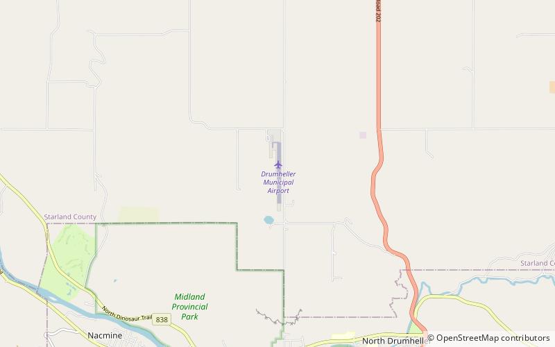
Map
Facts and practical information
The Drumheller Municipal Airport is a general aviation airport located 5.6 km Northwest of Drumheller, Alberta. It was privately developed in 1962 and was purchased by the Town of Drumheller in 1968. ()
Coordinates: 51°29'47"N, 112°44'56"W
Address
Drumheller
ContactAdd
Social media
Add
Day trips
Drumheller Municipal Airport – popular in the area (distance from the attraction)
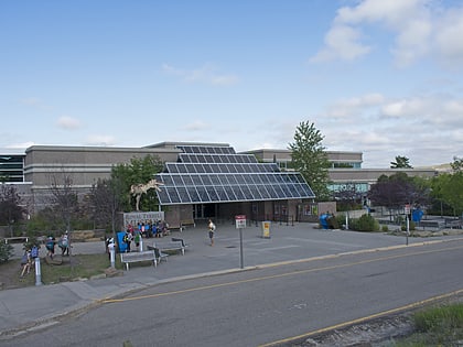
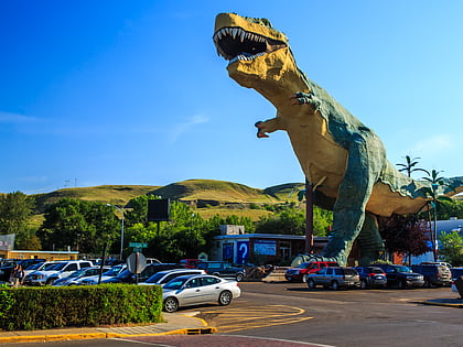
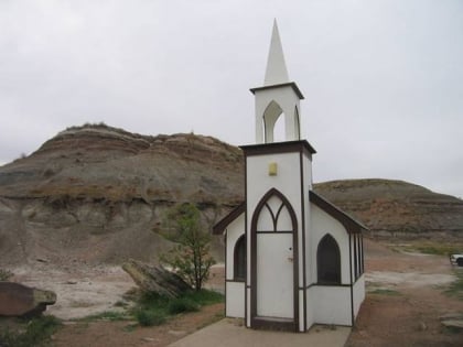
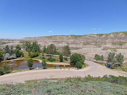
Nearby attractions include: Royal Tyrrell Museum, World's Largest Dinosaur, Drumheller's Little Church, Midland Provincial Park.
