Portage Bridge, Ottawa
Map
Map

Facts and practical information
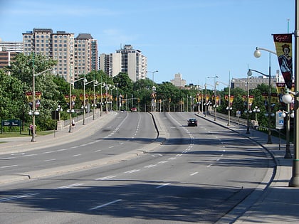
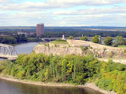
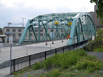
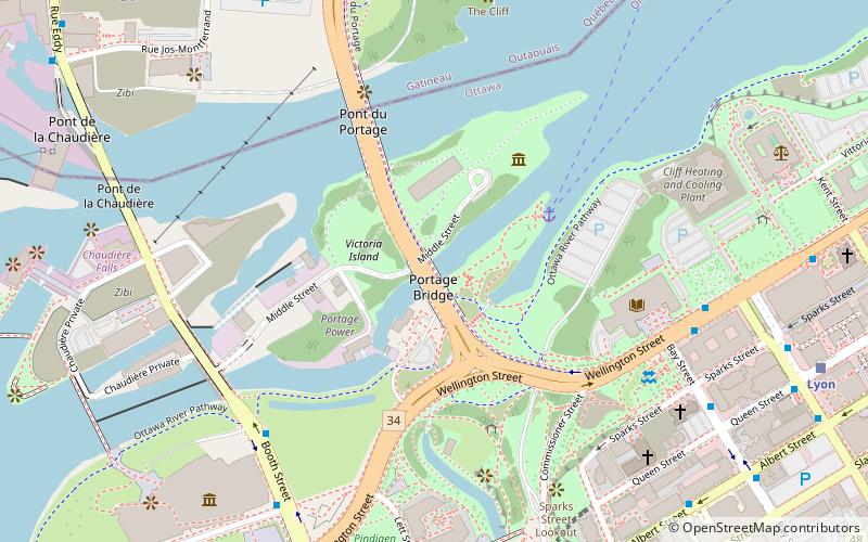
The Portage Bridge crosses the Ottawa River just down-river from the Chaudière Bridge, joining the communities of Gatineau, Quebec and Ottawa, Ontario. It links Laurier Street and Alexandre-Taché Boulevard in the Hull sector of Gatineau and Wellington Street at the Garden of the Provinces and Territories in Ottawa, crossing Victoria Island and the former Philemon Island on the way. ()
Day trips
Portage Bridge – popular in the area (distance from the attraction)
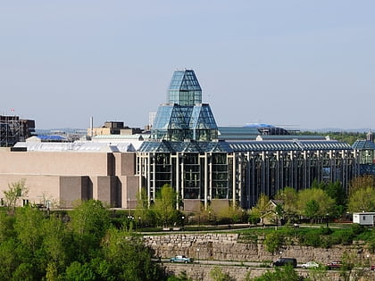
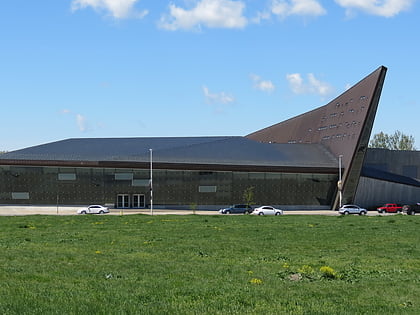
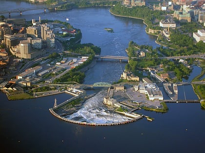
Nearby attractions include: National Gallery of Canada, Canadian War Museum, Chaudière Falls, Capital Pathway.
Frequently Asked Questions (FAQ)
Which popular attractions are close to Portage Bridge?
Nearby attractions include Chaudière Falls, Ottawa (2 min walk), Royal Canadian Navy Monument, Ottawa (3 min walk), Library and Archives Canada, Ottawa (6 min walk), Memorial to the Victims of Communism – Canada, Ottawa (6 min walk).
How to get to Portage Bridge by public transport?
The nearest stations to Portage Bridge:
Bus
Light rail
Bus
- Booth / Vimy Place • Lines: 61, 63, 66, 75, 85 (7 min walk)
- Wellington / Bay • Lines: 15, 17 (7 min walk)
Light rail
- Lyon B • Lines: 1 (10 min walk)
- Lyon A • Lines: 1 (10 min walk)
