Slocan Lake
Map

Map

Facts and practical information
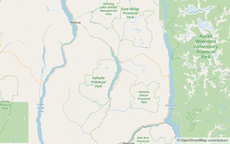
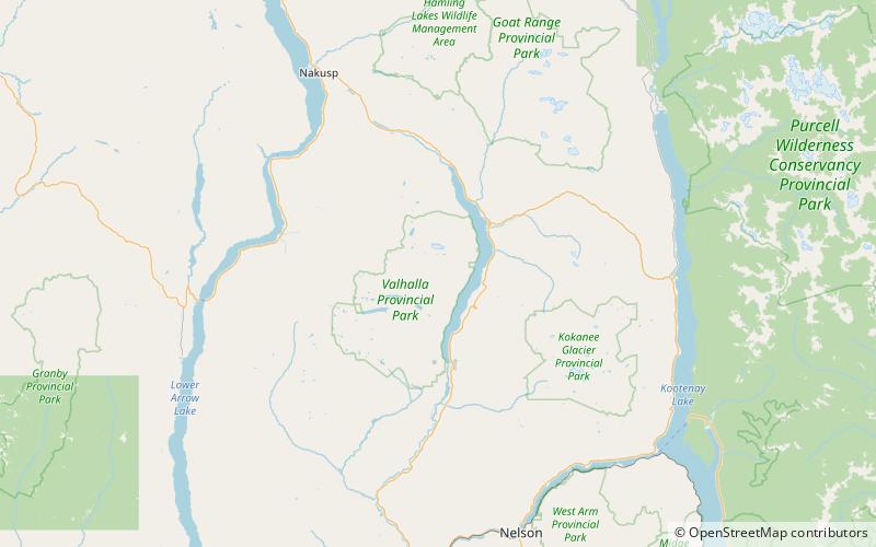
Slocan Lake is a lake in the Slocan Valley of the West Kootenay region of the Southeastern Interior of British Columbia, Canada. it is drained by the Slocan River, which flows south from the lake's foot at Slocan City through the Slocan Valley to South Slocan, British Columbia, where that river meets the Kootenay River a few miles above its confluence with the Columbia. It is fed by Bonanza Creek, which comes down the pass from Summit Lake, beyond which is the town of Nakusp on Upper Arrow Lake. ()
Length: 24.23 miWidth: 8858 ftMaximum depth: 978 ftElevation: 3169 ft a.s.l.Coordinates: 49°56'9"N, 117°25'23"W
Location
British Columbia
ContactAdd
Social media
Add
Day trips
Slocan Lake – popular in the area (distance from the attraction)
Nearby attractions include: Nikkei Internment Memorial Centre, Mount Denver, Regional District of Central Kootenay.


