Regional District of Central Kootenay

Map
Facts and practical information
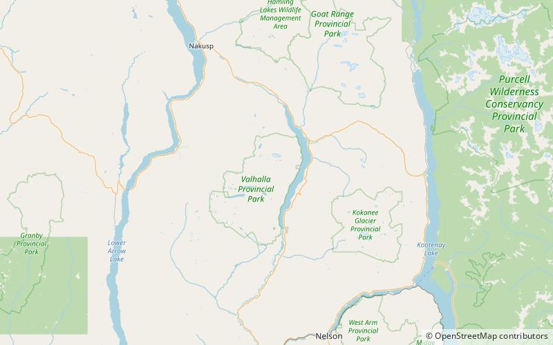
The Regional District of Central Kootenay is a regional district in the province of British Columbia, Canada. As of the 2016 census, the population was 59,517. The area is 22,130.72 square kilometres. The administrative centre is located in the city of Nelson. Other municipalities include the City of Castlegar, the Town of Creston, the Village of Salmo, the Village of Nakusp, the Village of Kaslo, the Village of New Denver, the Village of Silverton, the Village of Ymir and the Village of Slocan. ()
Location
British Columbia
ContactAdd
Social media
Add
Day trips
Regional District of Central Kootenay – popular in the area (distance from the attraction)
Nearby attractions include: Nikkei Internment Memorial Centre, Slocan Lake, Valhalla Provincial Park, Mount Denver.


