Claireville Conservation Area, Brampton
Map

Gallery

Facts and practical information
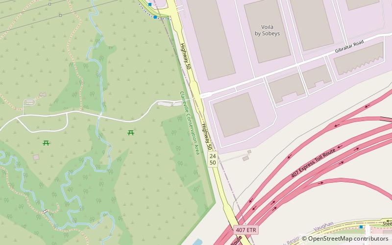
The Claireville Conservation Area is a suburban conservation area located on the border of Peel Region and Toronto in Ontario, Canada. The major part of the area is located in Brampton. The park is a 343 hectare parcel of conservation land located on the west branch of the Humber River. It is one of the largest tracts of land owned by the Toronto and Region Conservation Authority. Claireville contains significant natural and cultural heritage features, and has recreation, tourism, and educational facilities and programs. ()
Established: 1957 (69 years ago)Elevation: 581 ft a.s.l.Coordinates: 43°45'16"N, 79°38'32"W
Day trips
Claireville Conservation Area – popular in the area (distance from the attraction)
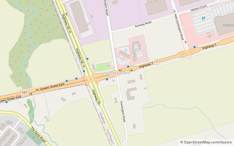
Nearby attractions include: Wild Water Kingdom, BAPS Shri Swaminarayan Mandir Toronto, Sunset Corners, Claireville.
Frequently Asked Questions (FAQ)
Which popular attractions are close to Claireville Conservation Area?
Nearby attractions include Claireville, Vaughan (9 min walk), Wild Water Kingdom, Brampton (22 min walk), Sunset Corners, Vaughan (24 min walk).
How to get to Claireville Conservation Area by public transport?
The nearest stations to Claireville Conservation Area:
Bus
Bus
- Albion Road @ Steeles Avenue • Lines: 38 (9 min walk)
- Signal Hill Avenue at Steeles Avenue • Lines: 60D (23 min walk)


